2 entries match your criteria.
Related Historical Markers
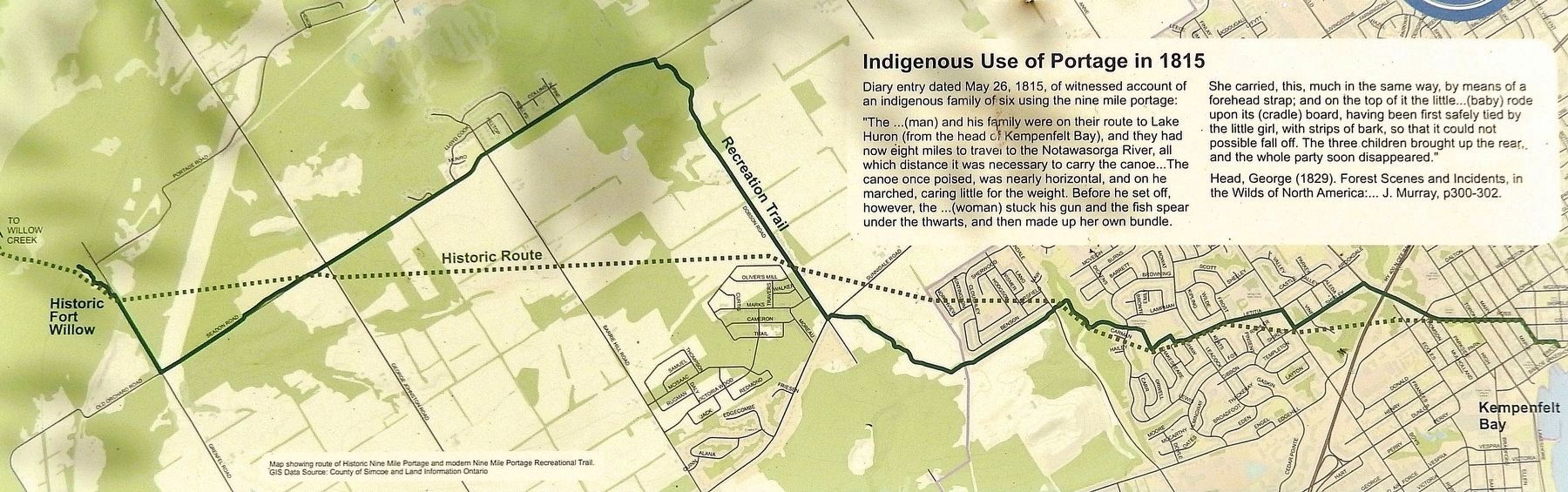
By GIS Data Source: County of Simcoe and Land Information Ontario
Marker detail: Nine Mile Portage Map
SHOWN IN SOURCE-SPECIFIED ORDER
1 ► Ontario, Simcoe County, Barrie — Birth of Barrie — Waterfront Heritage Trail & Nine Mile Portage Heritage Trail —  |
| Lake Erie Route Lost in War of 1812 War was declared between the United States and Great Britain in June 1812. The Americans took control of Lake Erie in September 1813, cutting off troops and supplies to the British military posts on the Upper . . . — — Map (db m272969) HM | |||
| 2 ► Ontario, Simcoe County, Wasaga Beach — Schooner Town — |
| The Nottawasaga River formed part of a transportation link between Lake Ontario and the upper Great Lakes, which became a vitally important supply route to British western posts during the War of 1812. The base of operations for the Royal Navy's . . . — — Map (db m259880) HM | |||