Pittsboro in Chatham County, North Carolina — The American South (South Atlantic)
Captain Johnston Blakeley
Photographed by Patrick G. Jordan, July 10, 2010
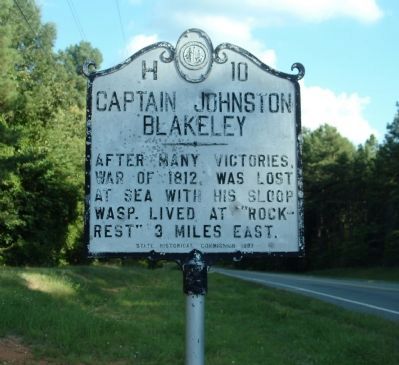
1. Captain Johnston Blakeley Marker
After many victories, War of 1812, was lost at sea with his sloop Wasp. Lived at "Rock-Rest" 3 miles east.
Erected 1937 by State Historical Commission. (Marker Number H-10.)
Topics and series. This historical marker is listed in these topic lists: War of 1812 • Waterways & Vessels. In addition, it is included in the Lost at Sea, and the North Carolina Division of Archives and History series lists. A significant historical year for this entry is 1812.
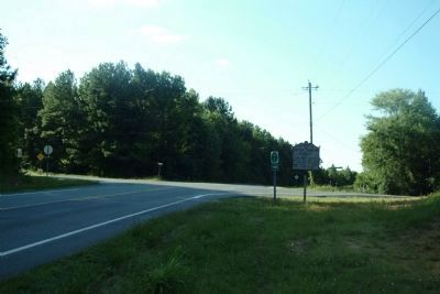
Location. 35° 48.83′ N, 79° 15.2′ W. Marker is in Pittsboro, North Carolina, in Chatham County. It is at the intersection of NC-87 (State Highway 87) and East Perry Road/Chicken Bridge Road, on the right when traveling north on NC-87. Touch for map. Marker is at or near this postal address: 7756 NC-87, Pittsboro NC 27312, United States of America. Touch for directions.

Regionally, this marker is in the Piedmont. It is also in the American South and specifically in the Upper South. Globally, it is in North America, the Western Hemisphere, the Western World, and the Anglosphere. Historically, it finds itself in what was once the territory of the Mississippian
this page online
Other nearby markers. At least 8 other markers are within 8 miles of this marker, measured as the crow flies: Uncle Eli's Quilting Party (approx. 6.9 miles away); Lindley's Mill (approx. 7.1 miles away); General John Butler (approx. 7.2 miles away); The Battle of Lindley's Mill (approx. 7.2 miles away); September 13, 1781 (approx. 7.3 miles away); Ernest Peter Dixon (approx. 7.4 miles away); Spring Friends Meeting (approx. 7.4 miles away); The Battle of Lindley's Mill Memorial (approx. 7.4 miles away).
via North Carolina History Project
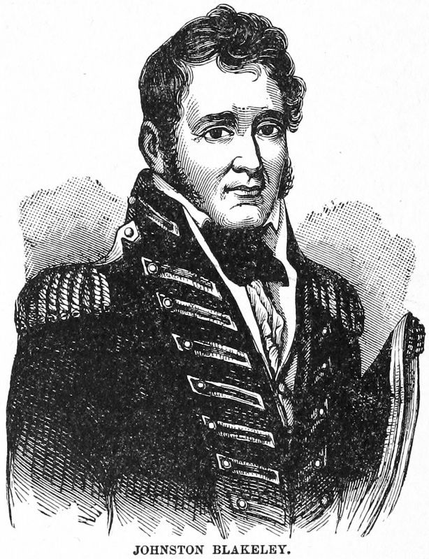
2. Captain Johnston Blakeley
North Carolina History project website entry:
Click for more information.
Click for more information.
Photographed by Patrick G. Jordan, July 10, 2010
3. Captain Johnston Blakeley Marker at Intersection
Credits. This page was last revised on June 22, 2024. It was originally submitted on July 21, 2010, by Patrick G. Jordan of Graham, North Carolina. This page has been viewed 1,272 times since then and 44 times this year. Last updated on March 14, 2023, by Michael Buckner of Durham, North Carolina. Photos: 1. submitted on July 21, 2010, by Patrick G. Jordan of Graham, North Carolina. 2. submitted on January 10, 2021, by Allen C. Browne of Silver Spring, Maryland. 3. submitted on July 21, 2010, by Patrick G. Jordan of Graham, North Carolina. • Bill Pfingsten was the editor who published this page.
