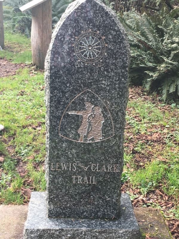
It shows the four markers the Washington State Society Daughters of the American Revolution placed commemorating the Lewis and Clark Expedition in what is now Washington State.
November 18, Monday 1805
William Clark recorded in his
journal that on this date:
"I set out with 10 men and my man York to the ocian by land.... (later in the day) … I found Capt. Lewis name on a tree. I also engraved my name.... I . . . — — Map (db m120771) HM
1805
William Clark recorded in his
journal that on this date:
“I can observe at a distance...
a high ridge of thinly timbered
countrey the water of the south fork is greenish blue,
the north as clear as crystial.” . . . — — Map (db m120772) HM
October 30, 1805
William Clark recorded in his journal that on this date, “A wet disagreeable evening, the only wood we could get to burn on this “little island” on which we have encamped is the newly discovered ash which . . . — — Map (db m91486) HM
October 16, 1805
William Clark recorded in his journal that on this date:
"After getting safely over the rapid and having taken diner set out and proceeded on seven miles to the junction of this river and the Columbia which joins from the . . . — — Map (db m259602) HM