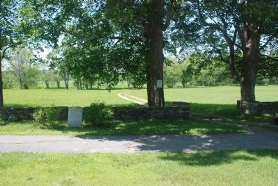
In the field nearby was situated the garrison house of the Rev. Joseph Rowlandson first ordained minister of Lancaster. During his absence on February 10, 1675-76 this garrison house was attacked and destroyed by the Indians. The inhabitants were . . . — — Map (db m299114) HM
On the crest of George Hill, near by, is situated Rowlandson Rock where the captives from the Rowlandson garrison house passed their first night after the burning of Lancaster by the Indians February 10, 1675–76. — — Map (db m299115) HM
Rowlandson rock is the site where captives such as Mary Rowlandson, her son, and others from Lancaster, spent their first night. The Indians holding them captive had just raided and burnt the Rowlandson Garrison and all of the buildings in town. . . . — — Map (db m299116) HM
Upon this rock May 2nd 1676 was made the agreement for the ransom of Mrs. Mary Rowlandson of Lancaster between the Indians and John Hoar of Concord. King Philip was with the Indians but refused his consent. — — Map (db m297893) HM