THE HISTORICAL
MARKER DATABASE
“Bite-Size Bits of Local, National, and Global History”


5 entries match your criteria.  


Related Historical Markers

 
By Ralph Cahoon
In the Miery Swamp Marker
SHOWN IN SOURCE-SPECIFIED ORDER
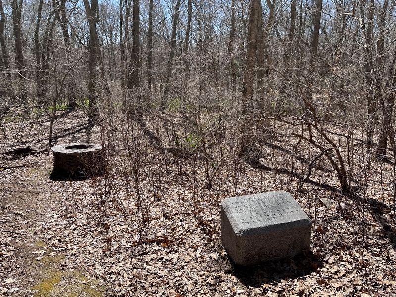
1 ► Rhode Island, Bristol County, Bristol — In the Miery Swamp — King Philip Fell —
In the 'Miery Swamp,' 100 feet W.S.W. from this spring, according to tradition, King Philip fell, August 12, 1676, O.S. — — Map (db m307142) HM
2 ► Massachusetts, Plymouth County, Halifax — Wamsutta Was Taken Prisoner —
Near this spot Wamsutta was taken prisoner by Maj. Josias Winslow, an incident said to have precipitated King Philip's War. — — Map (db m299591) HM
3 ► Rhode Island, Bristol County, Warren — Burr's Hill — Royal Pokanoket Burial Site — Sowams Heritage Area —
The Sowams Heritage Area includes Barrington, Bristol, East Providence, Providence, and Warren RI, and Rehoboth, Seekonk and Swansea, MA. Sowams means "Southern Area” and was the historic home of the Pokanokets (later described as Wampanoags) . . . — — Map (db m296118) HM
4 ► Massachusetts, Plymouth County, Plymouth — Massasoit —
Great Sachem of the Wampanoags protector and preserver of the Pilgrims 1621 — — Map (db m299589) HM
5 ► Rhode Island, Bristol County, Bristol — Mount Hope — Sacred Land of the Pokanokets — A Sowams Heritage Area Site —
Mount Hope (originally Montaup in the Pokanoket language) is a wooded promontory on the eastern shore of Bristol, Rhode Island overlooking the part of Narragansett Bay known as Mount Hope Bay. Before the European settlers arrived in New England, . . . — — Map (db m301431) HM


CeraNet Cloud Computing sponsors the Historical Marker Database.
This website earns income from purchases you make after using our links to Amazon.com. We appreciate your support.
Paid Advertisement
Oct. 10, 2026
