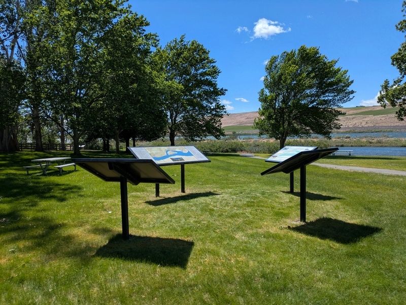
Near Crow Butte State Park Road 2 miles south of Washington Route 14, on the right when traveling west.
During the last Ice Age, rushing floodwaters traveled southwest across the Columbia Basin, scouring the bedrock. They converged into the Columbia River Gorge and eventually emptied into the Pacific. As the Missoula Floods passed through the area of . . . — — Map (db m299891) HM
On Crow Butte State Park Road 2 miles south of Washington Route 14, on the right when traveling west.
With the arrival of the Lewis and Clark expedition in 1805, the Columbia River Plateau became a region of national importance. In the vicinity of Crow Butte, the expedition encountered and documented densely populated winter villages along both . . . — — Map (db m299894) HM
Near Crow Butte State Park Road 2 miles south of Washington Route 14, on the right when traveling west.
Crow Butte is considered by tribal people to be a traditional cultural property due to its use as a winter village, a fishing area, and a place of other traditional practices from pre-contact to contemporary times. Mostly Umatilla people populated . . . — — Map (db m299896) HM