Near Whitcomb in Benton County, Washington — The American West (Northwest)
Ancient Times
Photographed by Clayton Pickett, May 16, 2026
1. Ancient Times Marker
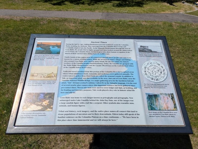
During the last Ice Age, rushing floodwaters traveled southwest across the Columbia Basin, scouring the bedrock. They converged into the Columbia River Gorge and eventually emptied into the Pacific. As the Missoula Floods passed through the area of Crow Butte, the people fled to higher ground and lakes formed around the rising waters of Nčí Wána, the Columbia River. Archaeological sites show human occupation at the shores of those ancient lakes dating back 10-12,000 years.
Family bands of this region were all related as Columbia River people and came to be known by a variety of tribal names. While the permanent winter villages and fishing sites around Crow Butte were used by many bands, the site lies within the historic territory of the Umatilla People (Imatalamtáma). Today, the Umatilla are grouped with the Walla Walla (Walúulapam) and the Cayuse (Weyíiletpu) as the Confederated Tribes of the Umatilla Indian Reservation.
Trails and travel corridors from this portion of the Columbia River led to upland areas where tribal subsistence foods, materials, and medicines were gathered annually. The routes taken to gather these
this page online
Crow Butte was home to rock images known as petroglyphs and pictographs. Now submerged under Lake Umatilla behind the John Day Dam, one of the images was a large sundisk figure with a tail like a serpent. Other symbols also represent suns, animals, and human figures.
Tribal oral history, rock imagery, and the native place names all connect this land to dense populations of ancestors and to their descendants. Elders today still speak of the familial existence on the Columbia Plateau on a time continuum — "We have been in this place
Photographed by Clayton Pickett, May 16, 2026
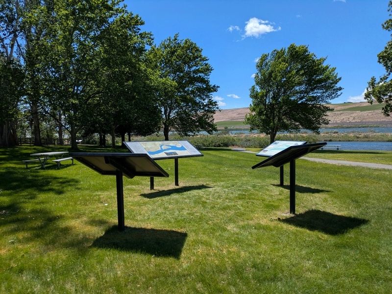
2. Information signs in Crow Butte Park
(Photo captions)
Effects of Ice Age Floods on the Columbia River Basin (courtesy Scott Burns, Cataclysms on the Columbia: The Great Missoula Floods).
Tule mat lodges in a winter fishing village scene (by Paul Kane, 1847, courtesy The Stark Museum of Art).
Tribal member demonstrates tule mat weaving (courtesy Tamástslikt Cultural Institute).
Drying sheds were common structures in fishing villages on the Columbia River (courtesy Tamástslikt Cultural Institute).
The First Foods and implements used in the seasonal rounds (courtesy Lynn Kitigawa, The First Oregonians).
Rock images on the Columbia River were once plentiful at Crow Butte (photo by Michael Taylor, Visions in the Mist).
Topics. This historical marker is listed in these topic lists: Anthropology & Archaeology • Indigenous Peoples and Communities. A significant historical year for this entry is 1847.
Location. 45° 51.195′ N, 119° 51.261′ W. Marker is near Whitcomb, Washington, in Benton County. It can be reached from Crow Butte State Park Road 2 miles south of Washington Route 14, on the right when traveling west. Marker is located within Crow Butte Park, which requires a day use or camping fee. Touch for map. Marker is in this post office area: Paterson WA 99345, United States of America. Touch for directions.

Regionally, this marker is in the Columbia Basin and in Yakima Valley. It is also in the American Mountain West and in the Lewis & Clark Corridor. Globally, it is in North America, on the Pacific Rim, in the Western Hemisphere, in the Western World, and in the Anglosphere.
Other nearby markers. At least 4 other markers are within walking distance of this marker: In the Time of Contact (a few steps from this marker); A Changing River (a few steps from this marker); Land Full of Life (within shouting distance of this marker); Through the Sandy Plains (within shouting distance of this marker).
Related markers. Click here for a list of markers that are related to this marker.
Credits. This page was last revised on May 17, 2026. It was originally submitted on May 16, 2026, by Clayton Pickett of Richland, Washington. This page has been viewed 21 times since then. Photos: 1, 2. submitted on May 16, 2026, by Clayton Pickett of Richland, Washington. • James Hulse was the editor who published this page.
