THE HISTORICAL
MARKER DATABASE
“Bite-Size Bits of Local, National, and Global History”


3 entries match your criteria.  


Related Historical Markers

 
By Cosmos Mariner, August 2, 2021
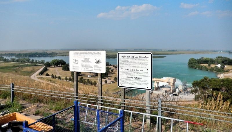
Kingsley Dam and Lake McConaughy / Lake Control Structures / Kingsley Hydroplant Marker
SHOWN IN SOURCE-SPECIFIED ORDER
1 ► Nebraska, Keith County, Ogallala — Kingsley Dam and Lake McConaughy / Lake Control Structures / Kingsley Hydroplant —
Kingsley Dam and Lake McConaughy Kingsley Dam was constructed between 1936 and 1941 to form Lake McConaughy, Nebraska's largest lake and the main storage reservoir for the Central Nebraska Public Power and Irrigation District's hydro-irrigation . . . — — Map (db m311094) HM
2 ► Nebraska, Keith County, Ogallala — Central Nebraska Project —
Nebraska Historic Civil Engineering Landmark Designated by the Nebraska Section 1979 — — Map (db m311100) HM
3 ► Nebraska, Keith County, Ogallala — George P. Kingsley Dam — 1941 —
Federal Works Agency Public Works Administration John M. Carmody Federal Works Administrator Franklin D. Roosevelt President of the United States — — Map (db m311099) HM


CeraNet Cloud Computing sponsors the Historical Marker Database.
This website earns income from purchases you make after using our links to Amazon.com. We appreciate your support.
Paid Advertisement
Oct. 8, 2026
