Ogallala in Keith County, Nebraska — The American Midwest (Upper Plains)
Central Nebraska Project
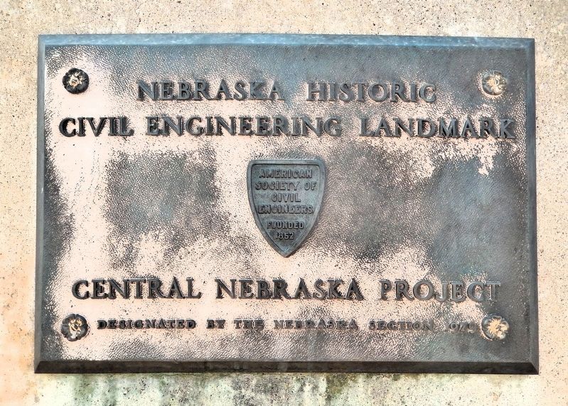
Photographed by Cosmos Mariner, August 2, 2021
1. Central Nebraska Project Marker
Designated by the Nebraska Section 1979
Erected 1979 by American Society of Civil Engineers – Founded 1852.
Topics and series. This historical marker is listed in these topic lists: Charity & Public Work • Industry & Commerce • Parks & Recreational Areas • Waterways & Vessels. In addition, it is included in the ASCE Civil Engineering Landmarks series list. A significant historical year for this entry is 1979.
Location. 41° 12.597′ N, 101° 40.314′ W. Marker is in Ogallala, Nebraska, in Keith County. It is on Scenic State Highway 61 6.1 miles north of North Spruce Street, on the left when traveling north. The marker is in a pull-out on the west side of the highway overlooking Kingsley Dam and Lake McConaughy. Touch for map. Marker is in this post office area: Ogallala NE 69153, United States of America. Touch for directions.

Regionally, this marker is in Central Nebraska. It is also in the American Midwest, in the Corn Belt, on the prairies, on the Great Plains, and specifically on the High Plains. Globally, it is in North America, the Western Hemisphere,
this page online
Other nearby markers. At least 8 other markers are within 7 miles of this marker, measured as the crow flies: Kingsley Dam and Lake McConaughy / Lake Control Structures / Kingsley Hydroplant (about 500 feet away, measured in a direct line); George P. Kingsley Dam (about 600 feet away); The Road to Zion (approx. ¾ mile away); Cowboy Capital (approx. 5.9 miles away); Boot Hill Kiosk (approx. 6 miles away); Boot Hill (approx. 6 miles away); The Trail Boss (approx. 6 miles away); Keith County Veterans Memorial (approx. 6.1 miles away). Touch for a list and map of all markers in Ogallala.
Related markers. Click here for a list of markers that are related to this marker.
Also see . . . A Brief History of the Central Nebraska Public Power and Irrigation District.
Excerpt: It was 1934. America was in the midst of the “Great Depression.” In the Plains states, the effects of the depression were exacerbated by a withering draught. Towns in Nebraska that were dependent upon agriculture faced an uncertain(Submitted on September 18, 2026, by Cosmos Mariner of Cape Canaveral, Florida.)future, trying to hold until conditions improved. The Central Nebraska Public Power and Irrigation District had been formed one year earlier, but its future also was in doubt. J. E. Lawrence of Lincoln, a member of the state Public Works Advisory Board, recommended to the Public Works Administration that funds be allotted for the “Tri-County Project” to aid Nebraska’s rural areas in their struggle.Photographed by Cosmos Mariner, August 2, 20212. Central Nebraska Project (bottom plaque)The Central Nebraska Public Power and Irrigation District
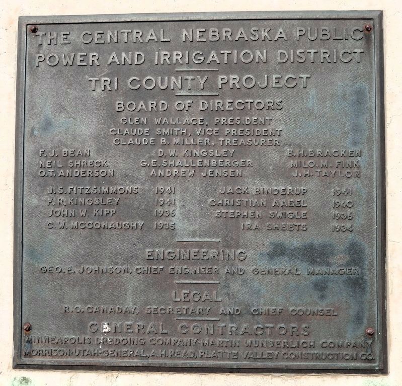
Tri County Project
Board of Directors:
Glen Wallace, President • Claude Smith, Vice President • Claude B. Miller, Treasurer • F.J. Bean • D.W. Kingsley • B.H. Bracken • Neil Shreck • G.E. Shallenberger • Milo. M. Fink • O.T. Anderson • Andrew Jensen • J.H. Taylor • J.S. Fitzsimmons 1941 • Jack Binderup 1941 • F.R. Kingsley 1941 • Christian Aabel 1940 • John W. Kipp 1936 • Stephen Swingle 1936 • C.W. McConaughy 1935 • Ira Sheets 1934
Engineering:
Geo. E. Johnson, Chief Engineer and General Manager
Legal:
R.O. Canaday, Secretary and Chief Counsel
General Contractors:
Minneapolis Dredging Company • Martin Wunderlich Company • Morrison-Utah-General, A.H. Read, Platte Valley Construction Co.Construction began on March 13, 1936, with ground-breaking ceremonies on the Diversion Dam, the Supply Canal, the three downstream hydroelectric plants and the irrigation canals and laterals. Most of the construction was finished during 1940 and the Supply Canal was opened in November 1940. Kingsley Dam was closed in early 1941 allowing storage in Lake McConaughy to begin. The dam was officially dedicated on July 22, 1941, and the first irrigation water from Lake McConaughy was delivered that same year. Irrigation delivery and related operations began in earnest in 1942, and the project was officially completed in 1943. Total cost of the Project was $43 million, paid by a $19 million PWA grant and a $24 million federal loan.
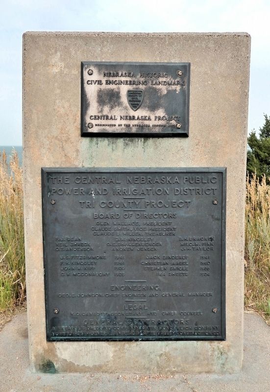
Photographed by Cosmos Mariner, August 4, 2021
3. Central Nebraska Project Marker
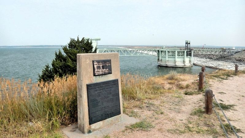
Photographed by Cosmos Mariner, August 4, 2021
4. Central Nebraska Project Marker
Looking north along Kingsley Dam from the west (Lake McConaughy) side of Nebraska Highway 61 (which travels north atop the dam).
Photographed by Cosmos Mariner, August 2, 2021
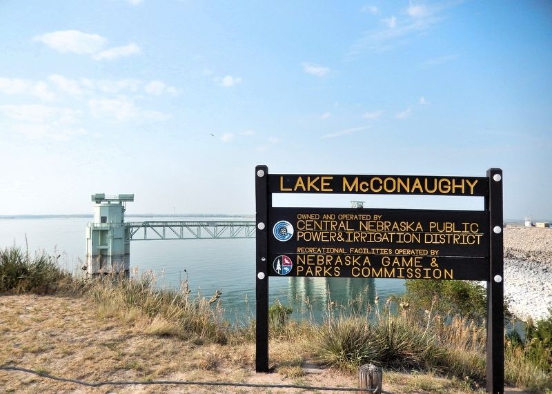
5. Lake McConaughy
Photographed by Cosmos Mariner, August 4, 2021
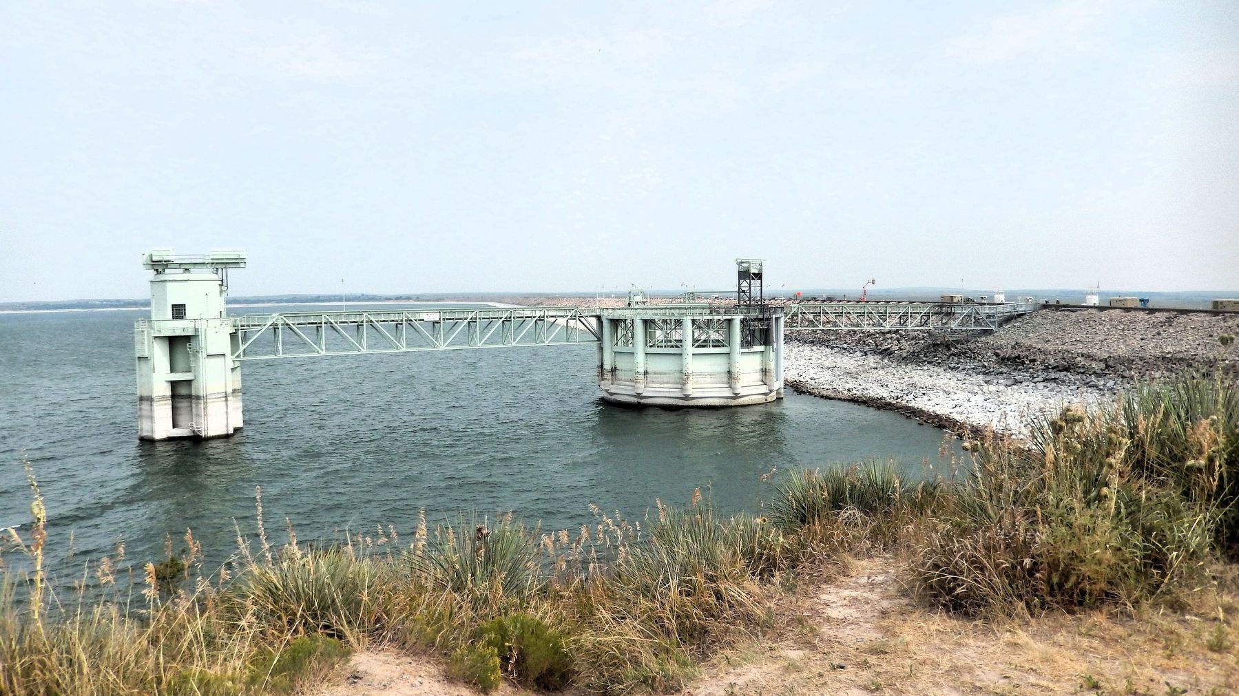
6. George P. Kingsley Dam
Credits. This page was last revised on September 19, 2026. It was originally submitted on September 16, 2026, by Cosmos Mariner of Cape Canaveral, Florida. This page has been viewed 14 times since then. Photos: 1, 2, 3, 4, 5, 6. submitted on September 18, 2026, by Cosmos Mariner of Cape Canaveral, Florida.
