Santa Ana Pueblo near Rio Rancho in Sandoval County, New Mexico — The American Mountains (Southwest)
Pueblo of Santa Ana
July 1, 2010
1. Pueblo of Santa Ana Marker
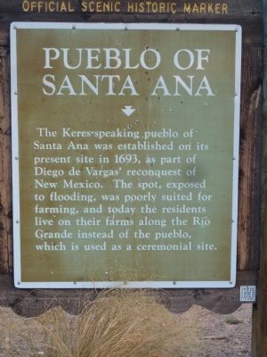
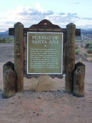
The Keres-speaking pueblo of Santa Ana was established on its present site in 1693, as part of Diego de Vargas' reconquest of New Mexico. The spot, exposed to flooding, was poorly suited for farming, and today the residents live on their farms along the Río Grande instead of the pueblo, which is used as a ceremonial site.
Erected by New Mexico Historic Preservation Division and Department of Highways.
Topics and series. This historical marker is listed in these topic lists: Indigenous Peoples and Communities • Notable Places. In addition, it is included in the El Camino Real de Tierra Adentro series list. A significant historical year for this entry is 1693.
Location. 35° 24.836′ N, 106° 38.433′ W. Marker is near Rio Rancho, New Mexico, in Sandoval County. It is in Santa Ana Pueblo. It is at the intersection of U.S. 550 and State Road 74, on the right when traveling west on U.S. 550. I 25 exit 242 West on US 550 9.2 miles. Touch for map. Marker is in this post office area: Rio Rancho NM 87144, United States of America. Touch for directions.

Regionally, this marker is in one of the Southern Pueblos, in the San
this page online
Other nearby markers. At least 8 other markers are within 8 miles of this marker, measured as the crow flies: Bernalillo (approx. 5.4 miles away); Trinidad Gachupin Medina (ca. 1883-1964) (approx. 7.4 miles away); Grind the Meal (approx. 7.4 miles away); Pueblo of Zía (approx. 7.4 miles away); Central Plaza (approx. 7.4 miles away); They are all well built with straight, well-squared walls (approx. 7½ miles away); The Pueblo of Kuau (approx. 7½ miles away); Experimental Archaeology / Arqueología Experimental (approx. 7½ miles away).
More about this marker. Marker overlooks the Jemez River Valley. This is the back door to "La Angostura," the narrowing of the Rio Grande River at its junction with the Jemez.
July 1, 2010
2. Pueblo of Santa Ana Marker
July 1, 2010
3. Santa Ana Pueblo Marker - Reverse
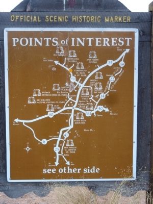
New Mexico Historic Marker Maps
The state's Official Scenic Historic Markers usually have a map on the reverse side showing the location of more local markers. For the ardent historical marker seeker, these maps are mines of information, waiting for extraction.
July 1, 2010
4. Santa Ana Pueblo Gate
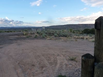
The pueblo road, BIA 74 starting from this marker is gated and locked as shown in this photo.
Photographed by Bill Kirchner, July 22, 2011
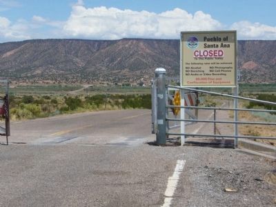
5. Pueblo of Santa Ana
Closed to the public.
Credits. This page was last revised on September 27, 2026. It was originally submitted on July 10, 2010. This page has been viewed 2,309 times since then and 71 times this year. Photos: 1, 2, 3, 4. submitted on July 10, 2010. 5. submitted on August 2, 2011, by Bill Kirchner of Tucson, Arizona. • Syd Whittle was the editor who published this page.
