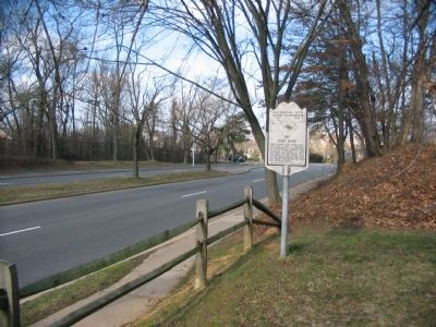
Historical Site Defenses of Washington 1861-1865 Fort Ward Here stands Fort Ward, constructed in 1861 to protect the approaches to Alexandria by Little River Turnpike and Leesburg Turnpike. In 1864, the fort was enlarged to a perimeter of 818 . . . — — Map (db m41117) HM
On May 24, 1861, when Virginia's secession from the Union became effective, Federal forces immediately occupied Northern Virginia to protect the City of Washington, D.C. After the Confederate victory at the Battle of First Bull Run (First Manassas) . . . — — Map (db m7676) HM
The Fort Ward entrance gate, completed in May 1865, provided the only access to the interior of the fort. The gate's decorative details include stands of cannonballs and the insignia (castle) of the Army Corps of Engineers which designed and . . . — — Map (db m194339) HM
Two bombproofs, each measuring 200 feet long by 12.5 feet wide, were located in the center of Fort Ward. During normal operations the bombproofs were used as meeting rooms, storage facilities, and sometimes as a prison. In the event of an attack, . . . — — Map (db m7716) HM
This rifle trench extended from the North Bastion toward Battery Garesche located beyond Leesburg Turnpike (Route 7). Another rifle trench extended from the tip of the South Bastion near the Fort Gate. The rifle trenches prevented enemy troops from . . . — — Map (db m7715) HM
This exterior view of the restored Northwest Bastion illustrates the effectiveness of an earthwork fort. The fort walls were 18-22 feet high, 12-14 feet thick, and slanted at 45 degrees. To gain access to the fort an attacker would have to cross . . . — — Map (db m7714) HM
The plan of Fort Ward consisted of five bastions with positions for 36 guns. The Northwest Bastion illustrates how the entire stronghold appeared in 1864. This bastion is armed with six reproduction weapons based on Fort Ward's original table of . . . — — Map (db m7713) HM
Ammunition for the fort's guns was kept in underground storage facilities called magazines and filling rooms. Shells were armed and sometimes stored in the filling room, while the magazine was used to hold black powder and crated rounds. Implements . . . — — Map (db m7711) HM
This stairway leads up the west wall of Fort Ward between the Northwest Bastion (to the left) and the Southwest Bastion (to the right). Fort Ward had 14 cannon emplacements along this area of the wall that created overlapping fields of fire. . . . — — Map (db m7709) HM
The Southwest Bastion was the most heavily fortified area of the fort with emplacements for seven guns, as well as a magazine and a filling room. The largest gun in Fort Ward, a 100-pounder Parrott Rifle, was located in the Southwest Bastion. . . . — — Map (db m7684) HM