Glenville in Schenectady County, New York — The American Northeast (Mid-Atlantic)
The Beukendaal Battle
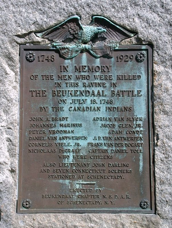
In Memory
Of The Men Who Were Killed
In This Ravine In
The Beukendaal Battle
On July 18, 1748
By The Canadian Indians
John A. Bradt
Johannes Marinus
Peter Vrooman
Daniel Van Antwerpen
Cornelis Viele, Jr.
Nicholaas DeGraaf
Adrian Van Slyck
Jacob Glen, Jr.
Adam Conde
J.P. Van Antwerpen
Frans Van Der Bogart
Captain Daniel Toll
Who Were Citizens
Also Lieutenant John Darling
And Seven Connecticut Soldiers
Stationed at Schenectady.
---
Erected By
Beukendaal Chapter N. S. D. A. R.
Of Schenectady, N. Y.
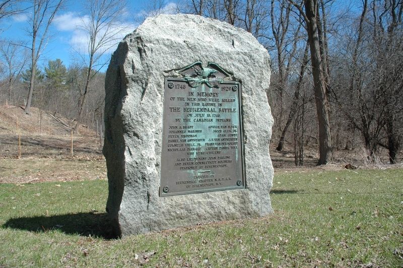
Erected 1929 by National Society Daughters of the American Revolution.
Topics and series. This historical marker is listed in these topic lists: Native Americans • War, French and Indian. In addition, it is included in the Daughters of the American Revolution series list. A significant historical date for this entry is July 18, 1748.
Location. 42° 51.182′ N, 73° 58.754′ W. Marker is in Glenville, New York, in Schenectady County. Marker is on Sacandaga Road (New York State Route 147), on the right when traveling north. Touch for map. Marker is at or near this postal address: 522 Sacandaga Road, Schenectady NY 12302, United States of America. Touch for directions.
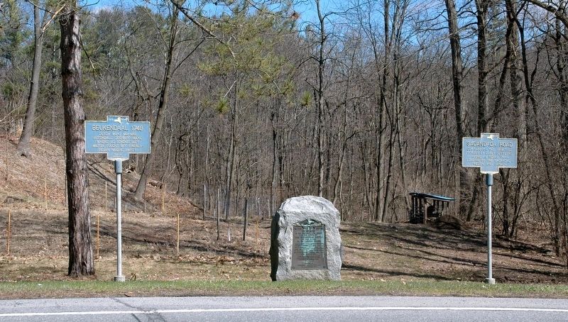
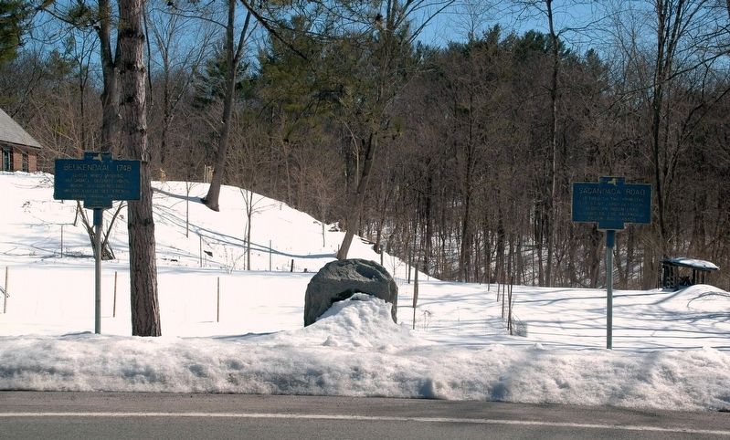
Other nearby markers. At least 8 other markers are within 2 miles of this marker, measured as the crow flies. Sacandaga Road (here, next to this marker); Beukendaal. 1748 (here, next to this marker); Site of a Tavern (approx. half a mile away); Pre-Columbian Cemetery (approx. 1.4 miles away); Maalwyck (approx. 1.6 miles away); Canal Aqueduct (approx. 1.7 miles away); Plotter Kill Aqueduct (approx. 1.8 miles away); The Movable Dam at Lock 8 (approx. 1.8 miles away). Touch for a list and map of all markers in Glenville.
Regarding The Beukendaal Battle. Translated to English from Dutch, Beukendaal means Beech Dale, and this area around Sacandaga Road and Spring Road in Glenville was known for the great number of Beech trees growing. The area is notable for being the only battle of King George's War to occur in the Mohawk Valley.
Also see . . . Schenectady County Historical Society's Grems-Doolittle Library Collections blog:. (Submitted on April 11, 2017, by Howard C. Ohlhous of Duanesburg, New York.)
Additional keywords. The Battle of Beukendaal
Credits. This page was last revised on September 4, 2017. It was originally submitted on April 11, 2017, by Howard C. Ohlhous of Duanesburg, New York. This page has been viewed 1,021 times since then and 71 times this year. Photos: 1, 2, 3, 4. submitted on April 11, 2017, by Howard C. Ohlhous of Duanesburg, New York. • Bill Pfingsten was the editor who published this page.


