THE HISTORICAL
MARKER DATABASE
“Bite-Size Bits of Local, National, and Global History”


2 entries match your criteria.  


Related Historical Markers

 
By William Fischer, Jr., July 27, 2025
The Crown Point Road Marker
SHOWN IN SOURCE-SPECIFIED ORDER
1 ► Vermont, Windsor County, Weathersfield, Perkinsville — The Crown Point Road —
On Vermont Route 106 at High Street, on the right when traveling south on Vermont Route 106.
The British, upon command of General Jeffrey Amherst, began construction of the Crown Point Road in 1759 during the French and Indian War to provide a more direct route for the provision of fresh troops and supplies between their . . . — — Map (db m280398) HM
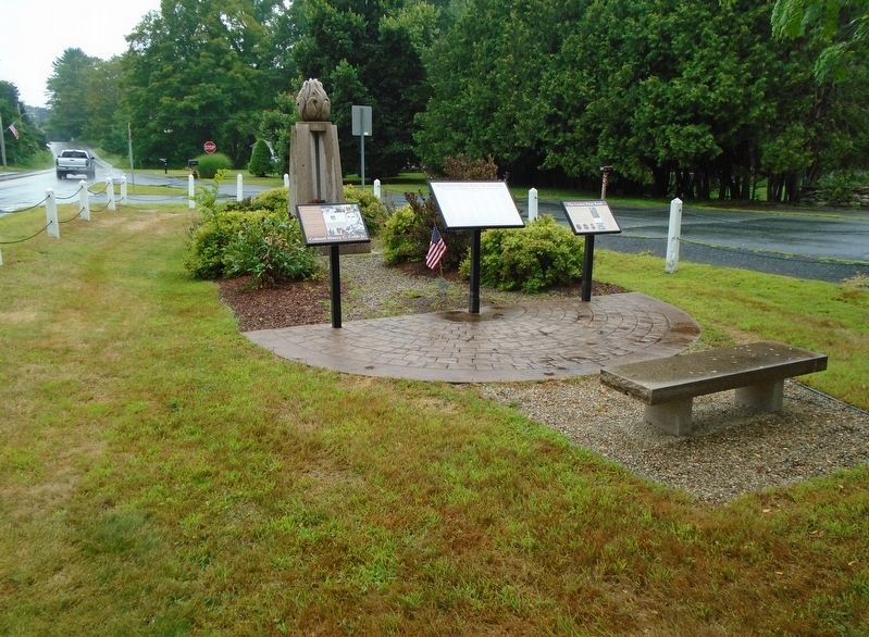
2 ► Vermont, Rutland County, Proctor — Crown Point Road —
On Cross Street at West Street, on the right when traveling south on Cross Street.
Built by Gen. Amherst 1759 — — Map (db m136548) HM


CeraNet Cloud Computing sponsors the Historical Marker Database.
This website earns income from purchases you make after using our links to Amazon.com. We appreciate your support.
Paid Advertisement
Oct. 9, 2026
