Near Hancock in Washington County, Maryland — The American Northeast (Mid-Atlantic)
The National Road
The Road that Built the Nation
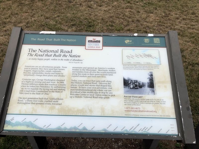
"…so many happy people, restless in the midst of abundance."
Alexis de Tocqueville, 1840
Americans are an adventurous people. from past to present, they have used feet, horses, wagons, stagecoaches, canals, railroads, bicycles, automobiles, trucks and buses to "perpetually change their plans and abodes."
Centuries ago, George Washington dreamed of a highway joining east and west. In 1806, Thomas Jefferson made that roadway a reality when he risked his Presidency by authorizing, "an Act to regulate the laying out and making [of] a road from Cumberland in the State of Maryland to the State of Ohio."
The next generation built that "United States Road," a thirty-foot wide, crushed stone thoroughfare that spanned rivers, traversed mountains and opened up America's western frontier to the Mississippi. Merchants, traders and families from all over the world journeyed along this route in their quest to claim land, expand markets and form new lives.
Today, you can trace that same path along the Historic National Road. Discover the places, events and stories that shaped this nation. to have your own adventure, visit
this page online
[Captions:]
Built in the early 1800s, a paved highway west was America's first federal project. Much of the approximately 800 mile long National Road is still marked by historic milestones.
Are we there yet?
These early 20th century travelers speak to all of us who at one time or another couldn't wait to get out of the car. Today, we have the luxury of taking our modern interstates for granted. But who can't relate to those faces?
Erected by The Maryland Historic National Road.
Topics and series. This historical marker is listed in this topic list: Roads & Vehicles. In addition, it is included in the Former U.S. Presidents: #03 Thomas Jefferson, and the The Historic National Road series lists. A significant historical year for this entry is 1840.
Location. Marker has been permanently removed. It was located near 39° 43.128′ N, 78° 16.838′ W. Marker was near Hancock, Maryland, in Washington County. It was on National Freeway (Interstate 68) 2 miles west
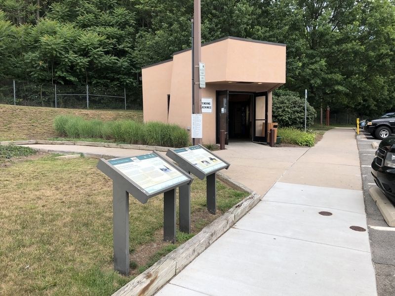
We have been informed that this marker is no longer there and will not be replaced. This page is an archival view of what was.
Regionally, this marker was in Western Maryland. It was also in the American Mid-Atlantic, in Appalachia, and specifically in Northern Appalachia. Globally, it was in North America, the Western Hemisphere, the Western World, and the Anglosphere. Historically, it found itself in what was once one of the original Thirteen Colonies.

Other nearby markers. At least 8 other markers are within 4 miles of this location, measured as the crow flies: A different marker also named The Challenge of Sideling Hill (here, next to this marker); Explore Maryland Civil War Trails (a few steps from this marker); Sideling Hill Cut South Bench (within shouting distance of this marker); Interstate 68 Maryland Vietnam Memorial (about 400 feet away); a different marker also named Explore Maryland Civil War Trails (approx. 0.2 miles away); Round Top Sand Company (approx. 4 miles away); Round Top Heritage Area (approx. 4 miles away); Round Top Cement Mill (approx. 4 miles away). Touch for a list and map of all markers in Hancock.
Other markers no longer nearby. The Challenge of Sideling Hill (was here, next to this marker but has been replaced with another marker now near it); a different marker also named The Challenge of Sideling Hill (was here, next to this marker but has been replaced with another marker now near it); a different marker also named The National Road (has been replaced with this marker); Gettysburg Campaign (was a few steps from this marker but has been replaced with another marker now near it); Sideling Hill Cut North Bench (was within shouting distance of this marker but has been permanently removed); Sideling Hill and Town Hill Mountains (was about 300 feet away, measured in a direct line but has been confirmed missing); a different marker also named Gettysburg Campaign (was approx. 0.2 miles away but has been replaced with another marker now near it).
Related marker. Click here for another marker that is related to this marker. This marker has replaced the linked marker.
Credits. This page was last revised on September 12, 2026. It was originally submitted on July 14, 2020, by Devry Becker Jones of Washington, District of Columbia. This page has been viewed 1,447 times since then and 46 times this year. Photos: 1, 2. submitted on July 14, 2020, by Devry Becker Jones of Washington, District of Columbia.
