Marker Logo HMdb.org THE HISTORICAL
MARKER DATABASE
“Bite-Size Bits of Local, National, and Global History”


6 entries match your criteria.  


Historical Markers in Muskoka District, Ontario

 
Explorers of Muskoka & Haliburton Marker • <i>wide view<br>(Baysville Narrows in background)</i> image, Touch for more information
By Cosmos Mariner, July 7, 2010
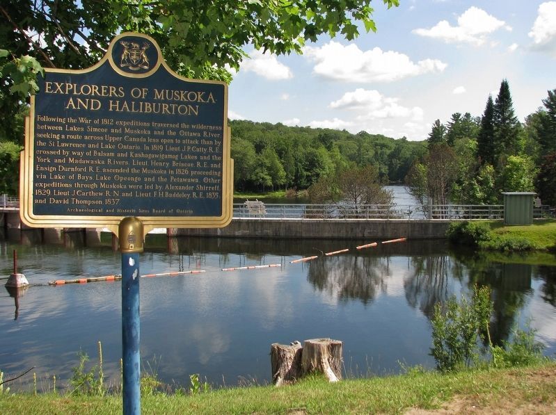
Explorers of Muskoka & Haliburton Marker • wide view
(Baysville Narrows in background)
1 Ontario, Muskoka District, Baysville — Explorers of Muskoka & Haliburton
On Baysville Terrace just east of Bay Street (Bridge Street), on the right when traveling east.
2 Ontario, Muskoka District, Bracebridge — The Silver BridgeJune, 2001
On Ecclestone Drive (Highway 16) just south of Ontario Street, on the right when traveling south.
3 Ontario, Muskoka District, Gravenhurst — The Muskoka Road 1858
On Hwy. 11 South, 1 kilometer south of Kilworthy Rd., on the right when traveling south.
4 Ontario, Muskoka District, Huntsville — Brunel Locks1873
Near Brunel Road (Muskoka District Road 2), 1.5 kilometers south of West Browns Road, on the right when traveling south.
5 Ontario, Muskoka District, Huntsville — Historic Brunel Lift Locks
Near Brunel Road (Muskoka District Road 2), 1.5 kilometers south of West Browns Road, on the right when traveling south.
6 Ontario, Muskoka District, Huntsville — The Huntsville Swing Bridge
On Main Street East at John Street, on the right when traveling west on Main Street East.
 
 
CeraNet Cloud Computing sponsors the Historical Marker Database.
This website earns income from purchases you make after using our links to Amazon.com. We appreciate your support.
Paid Advertisement
May. 5, 2024