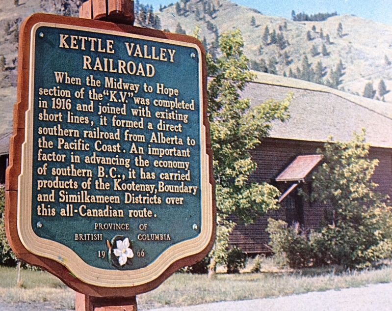
On Crowsnest Highway (Provincial Highway 3) just west of Beamish Street, on the right when traveling west. Reported permanently removed.
When the Midway to Hope section of the “K.V.” was completed in 1916 and joined with existing short lines, it formed a direct southern railroad from Alberta to the Pacific Coast. An important factor in advancing the economy of southern B.C., it has . . . — — Map (db m187941) HM
On 5th Avenue at Florence Street, on the right when traveling east on 5th Avenue.
Proximity to Boundary Creek mines, and excellent climate, water and soil convinced Midway promoters of a bright future as a "railway and residential town.” The Columbia & Western Railway reached Midway in 1900; five years later, the Vancouver, . . . — — Map (db m187938) HM