Marker Logo HMdb.org THE HISTORICAL
MARKER DATABASE
“Bite-Size Bits of Local, National, and Global History”


5 entries match your criteria.  


Historical Markers and War Memorials in Aculco de Espinoza, Estado de Mexico
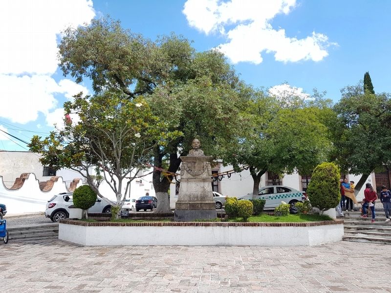
 
Creation of the Municipality of Aculco Marker image, Touch for more information
By J. Makali Bruton, September 23, 2018
Creation of the Municipality of Aculco Marker
1 Mexico, Estado de Mexico, Aculco, Aculco de Espinoza — Creation of the Municipality of Aculco
On Juárez Plaza just east of Avenida Manuel del Mazo, on the left when traveling east.
2 Mexico, Estado de Mexico, Aculco, Aculco de Espinoza — El Camino Real de Tierra AdentroThe Royal Inland Road
On Avenida Manuel del Mazo just north of José Canal, on the left when traveling north.
3 Mexico, Estado de Mexico, Aculco, Aculco de Espinoza — Hidalgo in Aculco
On Plaza de la Constitución just west of Comonfort, on the right when traveling west.
4 Mexico, Estado de Mexico, Aculco, Aculco de Espinoza — Miguel Hidalgo y Costilla in Aculco
On Route 330, in the median.
5 Mexico, Estado de Mexico, Aculco, Aculco de Espinoza — The Naming of Aculco de Espinoza
On Plaza Constitución, on the left when traveling south.


CeraNet Cloud Computing sponsors the Historical Marker Database.
This website earns income from purchases you make after using our links to Amazon.com. We appreciate your support.
Paid Advertisement
May. 22, 2024