Aculco de Espinoza in Aculco, Mexico State, Mexico — The Central Highlands (North America)
El Camino Real de Tierra Adentro
The Royal Inland Road
Photographed by J. Makali Bruton, September 23, 2018
1. El Camino Real de Tierra Adentro Marker

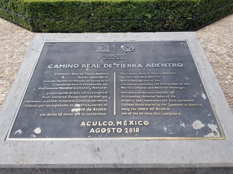
The Camino Real de Tierra Adentro has been inscribed upon the World Heritage List of the Convention concerning the Protection of the World Cultural and Natural Heritage. Inscription on the List confirms the Outstanding Universal Value of the property that represents the first terrestrial Cultural Route traced by the Spaniards in America, being the town of Aculco one of the 60 sites that compose it.
Aculco, México Agosto 2010
Erected 2010.
Topics and series. This historical marker is listed in these topic lists: Colonial Era • Industry & Commerce • Roads & Vehicles. In addition, it is included in the El Camino Real de Tierra Adentro series list. A significant historical year for this entry is 2010.
Location. 20° 5.971′ N,
this page online

Regionally, this marker is in Central Mexico and specifically in Mexico City Metropolitan Area. Globally, it is in North America, specifically in Mesoamerica, on the Ring of Fire, and in the Western Hemisphere. Historically, it finds itself in what was once New Spain, a Spanish colony, and the Aztec Empire.
Other nearby markers. At least 8 other markers are within 11 kilometers of this marker, measured as the crow flies: Hidalgo in Aculco (within shouting distance of this marker); Aculco (within shouting distance of this marker); The Naming of Aculco de Espinoza (within shouting distance of this marker); Creation of the Municipality of Aculco (about 90 meters away, measured in a direct line); Miguel Hidalgo y Costilla in Aculco (approx. 2.5 kilometers away); The Battle of Aculco and the "Blessed Tree" (approx.
Photographed by J. Makali Bruton, September 23, 2018
2. El Camino Real de Tierra Adentro Marker
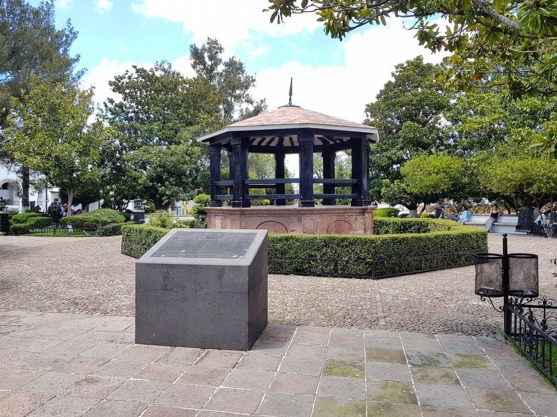
Behind the marker is a kiosk originally built in 1889.
Photographed by J. Makali Bruton, September 23, 2018
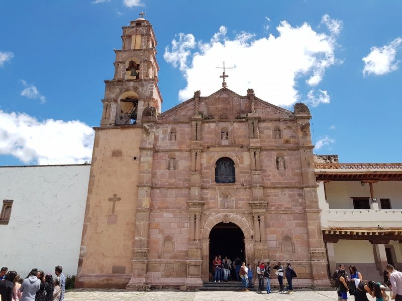
3. The nearby Templo de San Jerónimo
Photographed by J. Makali Bruton, September 23, 2018
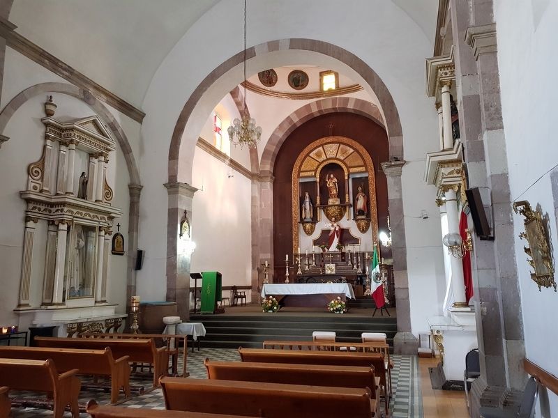
4. An interior view of the Templo de San Jerónimo
Credits. This page was last revised on October 1, 2018. It was originally submitted on October 1, 2018, by J. Makali Bruton of Washington, District of Columbia. This page has been viewed 273 times since then and 12 times this year. Photos: 1, 2, 3, 4. submitted on October 1, 2018, by J. Makali Bruton of Washington, District of Columbia.
