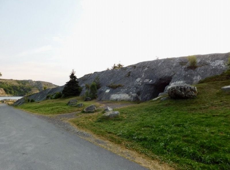
On Church Hill, on the right when traveling south.
The Brigus Tunnel was built for Capt. Abraham Bartlett
by the Cornish miner John Hoskins during the
summer of 1860. Its purpose was to provide easy
access to the Bartlett wharf which projected into
the deep water at its outer end. Since the . . . — — Map (db m289809) HM
On Middle Ridge, on the right when traveling south.
Captain Robert Abram Bartlett
Born in Brigus, Newfoundland, "Captain Bob" followed a
family tradition of life at sea. He commanded the ROOSEVELT
during Peary's arctic expedition of 1905-06, accompanied
Peary to the last relay . . . — — Map (db m289808) HM
On South Street, on the left when traveling north.
Hawthorne Cottage
Probably built in the early 1830's for John Leamon, a local merchant, Hawthorne Cottage was originally located 10 kilometres away. Although an unusual design for Newfoundland, this cottage in the Picturesque . . . — — Map (db m302015) HM