
Brigus in CensusDiv 1 - Avalon Peninsula-St. John's, Newfoundland and Labrador — The Atlantic Provinces (North America)
The Brigus Tunnel
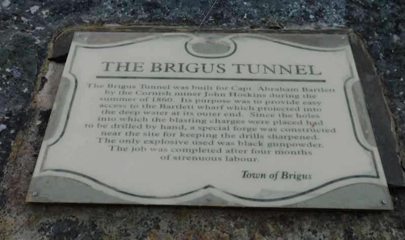
Photographed by Jimmy Emerson, July 2024
1. The Brigus Tunnel Marker
Erected by Town of Brigus.
Topics. This historical marker is listed in these topic lists: Man-Made Features • Waterways & Vessels. A significant historical year for this entry is 1860.
Location. 47° 32.096′ N, 53° 12.294′ W. Marker is in Brigus, Newfoundland and Labrador, in CensusDiv 1 - Avalon Peninsula-St. John's. It is on Church Hill, on the right when traveling south. Touch for map. Marker is at or near this postal address: 6 Church Hill, Brigus NL A0A 2Z0, Canada. Touch for directions.

Regionally, this marker is in Atlantic Canada. Globally, it is in the North Atlantic Region, North America,
this page online
Other nearby markers. At least 8 other markers are within 18 kilometers of this marker, measured as the crow flies: Captain Robert Abram Bartlett (approx. 0.3 kilometers away); Hawthorne Cottage / Cottage Hawthorne (approx. 0.4 kilometers away); Amelia Earhart (approx. 15.8 kilometers away); Education & Confederation (approx. 15.8 kilometers away); Otterbury Schoolhouse (Built circa 1884) / Preserving the Schoolhouse (approx. 15.8 kilometers away); Rothesay House, Munn/Godden Residence (approx. 17.6 kilometers away); Transatlantic Flights / Vols Transatlantiques (approx. 17.7 kilometers away); Laurence Coughlan (approx. 17.7 kilometers away). Touch for a list and map of all markers in Brigus.
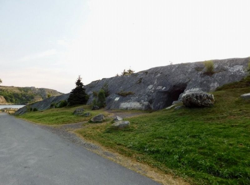
Photographed by Jimmy Emerson, July 2024
2. The Brigus Tunnel Marker
Marker is on the rock to the left of the tunnel
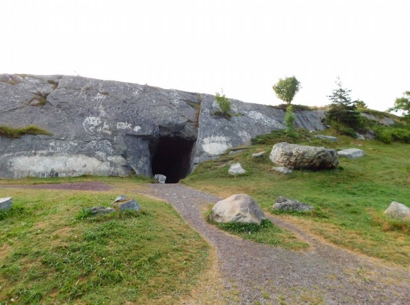
Photographed by Jimmy Emerson, July 2024
3. The Brigus Tunnel
Credits. This page was last revised on December 19, 2025. It was originally submitted on December 8, 2025, by Jimmy Emerson of Dalton, Georgia. This page has been viewed 47 times since then and 24 times this year. Photos: 1, 2, 3. submitted on December 8, 2025, by Jimmy Emerson of Dalton, Georgia. • Andrew Ruppenstein was the editor who published this page.
