THE HISTORICAL
MARKER DATABASE
“Bite-Size Bits of Local, National, and Global History”


7 entries match your criteria.  


Historical Markers and War Memorials in Armagh

 
By GavinSCrambler
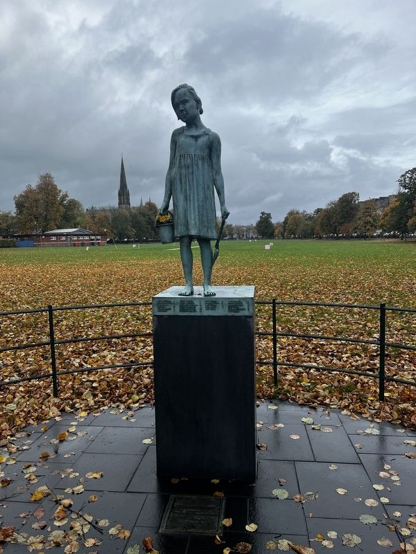
Armagh Rail Disaster Marker
1 ► United Kingdom, Northern Ireland, Armagh Banbridge and Craigavon, Armagh — Armagh Rail Disaster —
On The Mall near Northern Ireland Route A-3.
To commemorate those who died as a result of the Armagh Rail Disaster 12th June 1889 — — Map (db m248828)
2 ► United Kingdom, Northern Ireland, Armagh Banbridge and Craigavon, Armagh — Brian Boroimhe (Brian Boru) — c. 941-1014 —
Near Vicars Hill close to Castle Street.
Brian Boru was born in County Clare during a time when Ireland was divided into kingdoms, ruled over by one High King or "Ard Rí". Brian Boru claimed the high kingship in 1001. When the northern kingdoms resisted his claim he travelled . . . — — Map (db m211031) HM
3 ► United Kingdom, Northern Ireland, Armagh Banbridge and Craigavon, Armagh — John Nichol —
On Upper English Street 0.1 kilometers south of College Street, on the left when traveling south.
Honouring the bravery and sacrifice of John Nichol of Armagn Fire Station, who gave his life in the line of duty at Upper English St. Armagh 27th August 1976 — — Map (db m210140) HM
4 ► United Kingdom, Northern Ireland, Armagh Banbridge and Craigavon, Armagh — R.J. Patterson — 1868-1930 —
On Gosford Place just south of College Hill (National Highway A3), on the left when traveling south.
Founder 'Catch-My-Pal' Temperance Association 1909. Minister of this Church 1892-1910. — — Map (db m210111) HM
5 ► United Kingdom, Northern Ireland, Armagh Banbridge and Craigavon, Armagh — St. Patrick's Cathedral — Welcome to St. Patrick's Church of Ireland Catherdral —
On Vicars Hill just south of Castle Street.
During the 5th century St. Patrick is said to have chosen this hill as the place to establish a fortified Christian site. According to tradition, he persuaded a local chieftain to hand over the land and built his first church here . . . — — Map (db m210113) HM
6 ► United Kingdom, Northern Ireland, Armagh Banbridge and Craigavon, Armagh — St. Patrick's Cathedral Crypt —
Near Castle Street 0.3 kilometers south of Vicars Hill, on the left when traveling north.
The Crypt is the most ancient part of St. Patrick's Cathedral and dates back to the 13th century. Up until that time most churches were built from timber but in 1268, Archbishop O'Scannell decided to build a new, sturdy stone . . . — — Map (db m210750) HM
7 ► United Kingdom, Northern Ireland, Armagh Banbridge and Craigavon, Armagh — South African Campaign Memorial —
Near The Mall 0.2 kilometers south of College Hill (National Route A3), on the left when traveling north.
This memorial is erected by their fellow countrymen and comrades to the memory of the officers, non-commissioned officers, and men of the Princess Victoria's Royal Irish Fusiliers who fell in the service of their country during the . . . — — Map (db m210222) WM
 
 
CeraNet Cloud Computing sponsors the Historical Marker Database.
This website earns income from purchases you make after using our links to Amazon.com. We appreciate your support.
Paid Advertisement
Nov. 11, 2026
