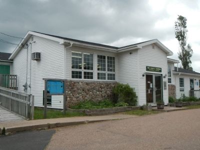
On Cabot Trail close to Nova Scotia Route 19, on the right when traveling west.
English: Margaree is the proud birthplace of Dr. Moses Coady (1882-1959) and his double first cousin and mentor, Father Jimmy Tompkins (1870-1853), two men who devoted themselves to improving the minds and lives of the poor and . . . — — Map (db m80070) HM
On Cabot Trail close to Nova Scotia Route 19, on the right when traveling west.
English:
The Margaree-Lake Ainslie River System, the largest on Cape Breton Island, includes the Margaree River, the Northeast and Southwest Margaree Rivers, and Lake Ainslie. From its origins in the Cape Breton Highlands, it . . . — — Map (db m80068) HM
On Cabot Trail close to Nova Scotia Route 19, on the right when traveling west.
English:
A Canadian Heritage River, the Margaree has carved its way through Cape Breton since ancient times, creating the beautiful landscape and diversity of wildlife that has made this island famous. Essential for fishing, . . . — — Map (db m80069) HM