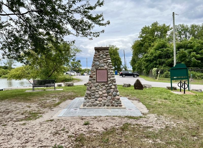
Port Maitland was a major commercial
fishing port from the mid-1800s until
the late 1950s. Fishing took place in the
Grand River and Lake Erie, netting
abundant amounts of sturgeon, bass,
herring, whitefish, pickerel, perch and
clams. . . . — — Map (db m255171) HM
In 1845 the Feeder Canal was extended from Stromness (once called "Broad Creek") to the nearby Port Maitland Lock. This allowed ships to navigate from both the Welland Canal and from Lake Erie to the Upper Grand River. The Feeder Canal brought a . . . — — Map (db m255176) HM
In 1815 a small detachment of the Royal Navy established the first base on Lake Erie, at the mouth of the Grand River, which was to enforce the Rush-Bagot Treaty (1814) to protect Upper Canada from another invasion from the United States. The wharf . . . — — Map (db m255156) HM
From 1815 to 1834 members of the Royal Navy, along with some family members, were stationed at the Grand
River Naval Depot. Early history tells of a cemetery located at the Naval Depot where graves, coffins and
military buttons were found. Port . . . — — Map (db m255166) HM