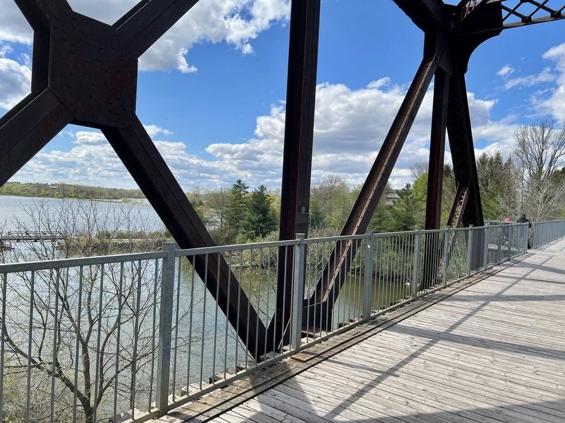
In 1916 the Lake Erie & Northern Railway began offering passenger and freight service on a north-south route between Port Dover and Galt.
The Black Bridge was constructed to enable service on the line to move freely across the heavy east-west . . . — — Map (db m299841) HM
In 1797, Job Slaght and Paul Averill constructed the first grist-mill in Waterford on Nanticoke Creek. A pond formed and became the staging area for floating logs downstream to the sawmill.
The mill was an important community building and was used . . . — — Map (db m299818) HM
Settlement of Townsend Township began in 1794 and within six years Paul Averill was operating saw and grist-mills
on Nanticoke Creek where it met an established trail. Here
grew a community, known successively as Sayles' Mills,
Sovereign's Mills, . . . — — Map (db m299681) HM
Looking west from this spot everything you see before you was once a busy railway yard. Multiple sets of tracks filled the entire area of this park and beyond to the west. Coal hoppers fueled the trains, engine boilers were filled and trains . . . — — Map (db m299707) HM
These are three of four vents which were located on the roof of the building located across the street. The vents were installed in 1918 when the building was purchased by Penman's Limited of Paris, Ontario, as a branch factory which produced . . . — — Map (db m299709) HM
Affectionately known as the Late, Early or Never, the Lake Erie and Northern Railway (LE&N) began operation in 1916. It provided freight and passenger service between Port Dover and Galt (now part of Cambridge) on a line 80 kilometres in length. At . . . — — Map (db m299822) HM
The place where you now stand was once a busy railway stop for passenger travel and commercial exchange of merchandise and cargo. Since the railway's establishment in the late 1800's to the removal of the tracks in early 1990's, these lands were . . . — — Map (db m299845) HM
Some 11,000 years ago the last of the great glaciers of the Ice Age retreated from this area. As the ice receded it left behind massive deposits of rock and sand that covered vast areas. Much of the rock left in this area was dolomite, pushed here . . . — — Map (db m299729) HM