6 entries match your criteria.
Historical Markers and War Memorials in St. George, Ontario
By Cosmos Mariner, May 26, 2022
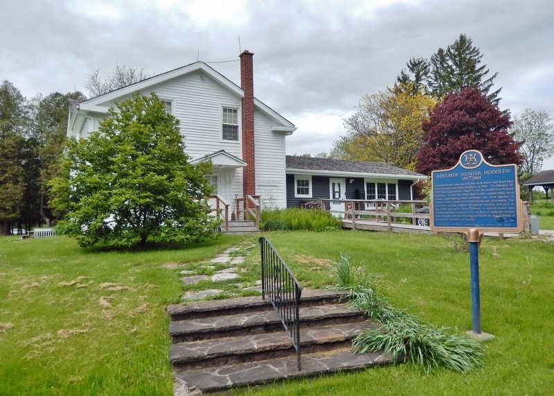
Adelaide Hunter Hoodless Marker
| On Blue Lake Road (County Road 35) 0.6 kilometers west of Brant Road (Provincial Highway 24), on the right when traveling west. |
| On Blue Lake Road (County Road 35) 0.6 kilometers west of Brant Road (Provincial Highway 24), on the right when traveling west. |
| On Blue Lake Road (County Road 35) 0.7 kilometers west of Brant Road (Provincial Highway 24), on the right when traveling west. |
| On Beverly Street East (Nixon Way) (County Highway 5) 0.2 kilometers east of Tolhurst Avenue (Reid Street), on the right when traveling east. |
| On Main Street South (County Road 13) at High Street, on the right when traveling north on Main Street South. |
| On Main Street South (County Road 13) at High Street, on the right when traveling north on Main Street South. |
May. 20, 2024