Near Suggsville in Clarke County, Alabama — The American South (East South Central)
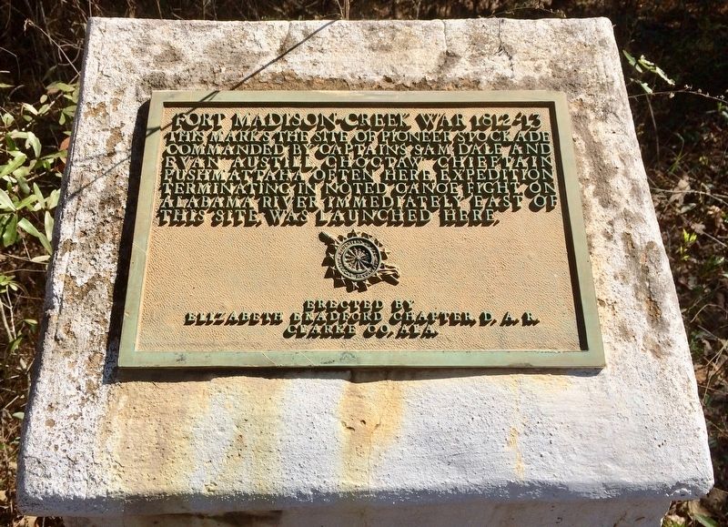
Fort Madison-Creek War 1812-13
commanded by Captains Sam Dale and
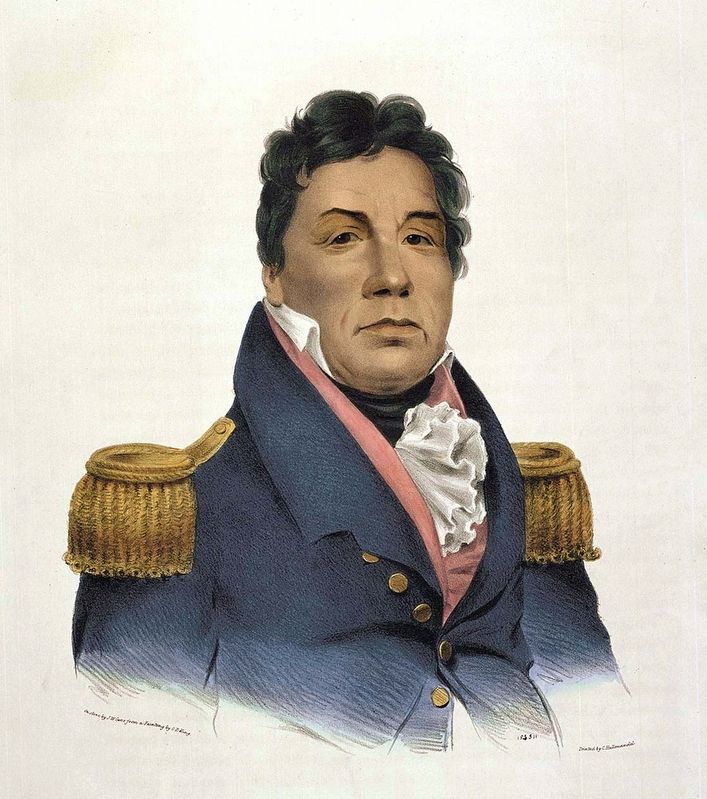
Evan Austill. Choctaw Chieftain
Pushmattaha often here. Expedition
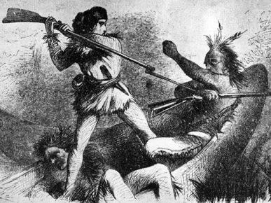
terminating in noted Canoe Fight on
Alabama River immediately east of
this site, was launched here.
Erected by the Elizabeth Bradford Chapter, D.A.R. Clarke Co. Ala.
Topics and series. This historical marker is listed in these topic lists: Forts and Castles • Native Americans • Wars, US Indian. In addition, it is included in the Daughters of the American Revolution series list.
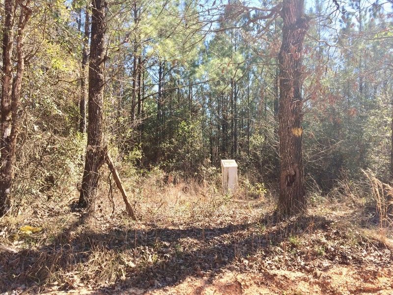
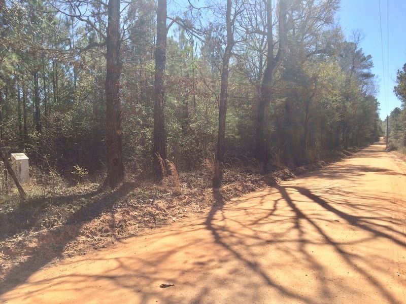
Location. 31° 31.366′ N, 87° 43.136′ W. Marker is near Suggsville, Alabama, in Clarke County. Marker is on Bird Jackson Road (County Road 35) 5.9 miles south of Simmons Creek Road, on the left when traveling south. Much of the road leading here is unpaved. Marker is about 10 feet off the road on the east side, near a tree marked with a yellow paint swash. Touch for map. Marker is at or near this postal address: Bird Jackson Road, Jackson AL 36545, United States of America. Touch for directions.
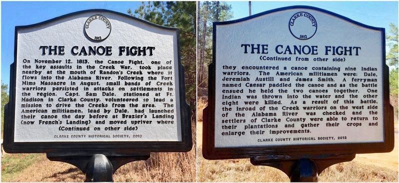
Other nearby markers. At least 8 other markers are within 10 miles of this marker, measured as the crow flies. Suggsville (approx. 4.7 miles away); Gainestown (approx. 5˝ miles away); French's Chapel (approx. 6.7 miles away); The Canoe Fight (approx. 6.9 miles away); Old Line Road (approx. 8.4 miles away); John Murphy (approx. 8.6 miles away); Whatley, Alabama (approx. 8.8 miles away); Kimbell - James Massacre (approx. 9.1 miles away).
Regarding Fort Madison-Creek War 1812-13. All that remains at the Fort Madison site is the marker that is shown.
Built around August, 1813. During the Creek War it was occupied by settlers. It was a wooden stockade, square in shape, 60 x 60 yards, on about an acre of ground. A trench three feet in depth was dug around the outside and the bodies of pine trees, cut about fifteen feet in length, were placed perpendicularly in the trench side by side, making thus a wall of pine wood twelve feet in height. Portholes were cut at convenient distances so as to enable the defenders to look out, and in case of an attack to fire upon the besiegers. It was lighted at night by means of the abundant "pine-knot" placed upon scaffolds, covered with earth, when used would light up the area with a powerful white light.
Located in the center of a large Fort Madison neighborhood. First store was located due east, six miles on the Alabama River in 1812.
First grist mill was located four miles north in 1812. First cotton gin was located two miles north in 1813. It was surrounded by the first plantations in the area.
Related marker. Click here for another marker that is related to this marker.
Also see . . .
1. Wikipedia article on the Canoe Fight engagement. (Submitted on February 25, 2017, by Mark Hilton of Montgomery, Alabama.)
2. Encyclopedia article on Chief Pushmataha. (Submitted on February 25, 2017, by Mark Hilton of Montgomery, Alabama.)
3. Encyclopedia of Alabama article on Sam Dale. (Submitted on February 25, 2017, by Mark Hilton of Montgomery, Alabama.)
Credits. This page was last revised on March 6, 2017. It was originally submitted on February 25, 2017, by Mark Hilton of Montgomery, Alabama. This page has been viewed 933 times since then and 72 times this year. Photos: 1, 2, 3, 4, 5, 6. submitted on February 25, 2017, by Mark Hilton of Montgomery, Alabama. 7. submitted on February 26, 2017, by Mark Hilton of Montgomery, Alabama.
