2 entries match your criteria.
Related Historical Markers
By Cosmos Mariner, July 13, 2015
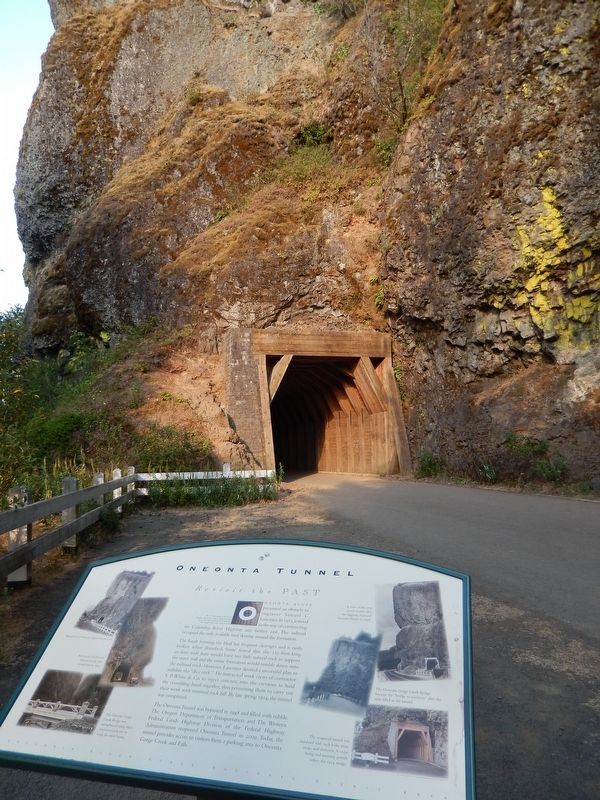
Oneonta Tunnel Marker (tall view; west tunnel portal in background)
SHOWN IN SOURCE-SPECIFIED ORDER
| 1 ► Oregon, Multnomah County, Cascade Locks — Oneonta Tunnel — Revisit the Past — |
| On Historic Columbia River Highway (U.S. 30) 1.8 miles west of Interstate 84, on the left when traveling west. | |||
| 2 ► Oregon, Multnomah County, Cascade Locks — Oneonta Gorge — A Secret Garden — |
| On Historic Columbia River Highway (U.S. 30) 1.8 miles west of Interstate 84, on the left when traveling west. | |||