Near Cascade Locks in Multnomah County, Oregon — The American West (Northwest)
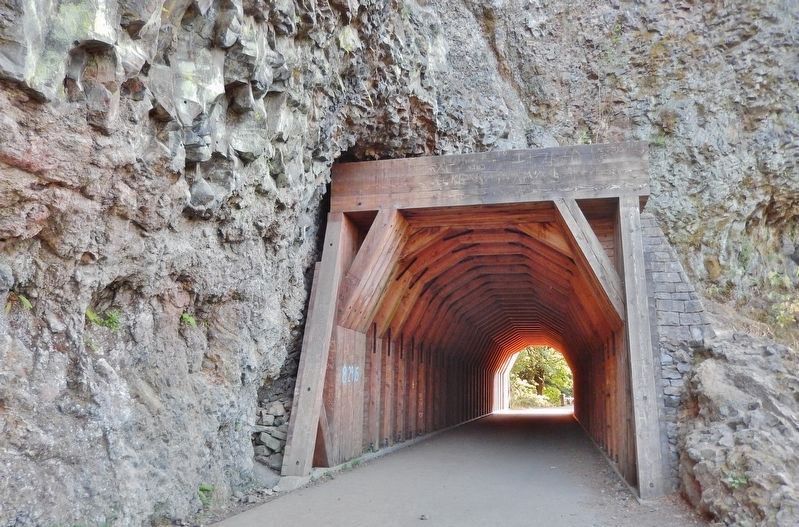
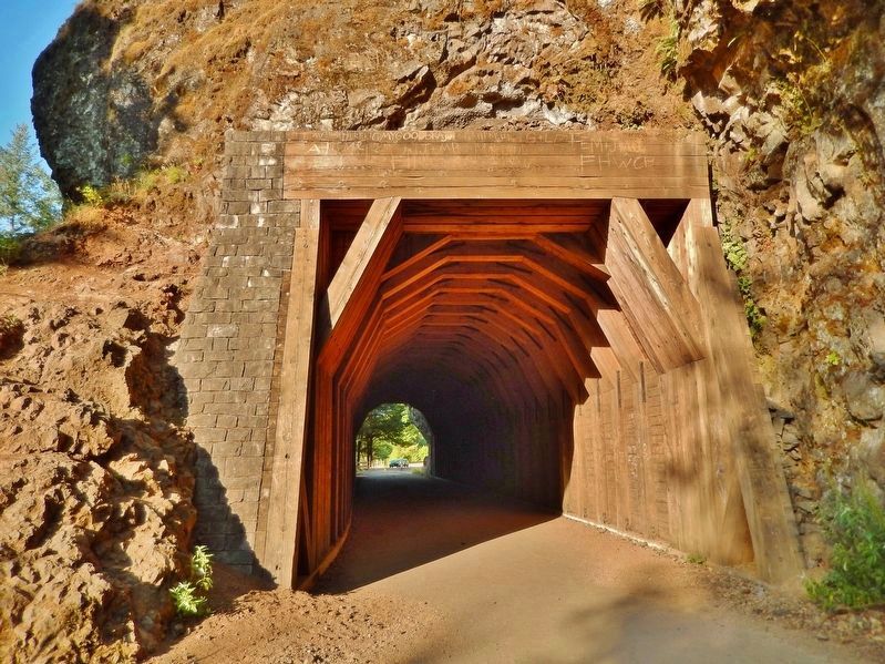
Oneonta Tunnel
Revisit the Past
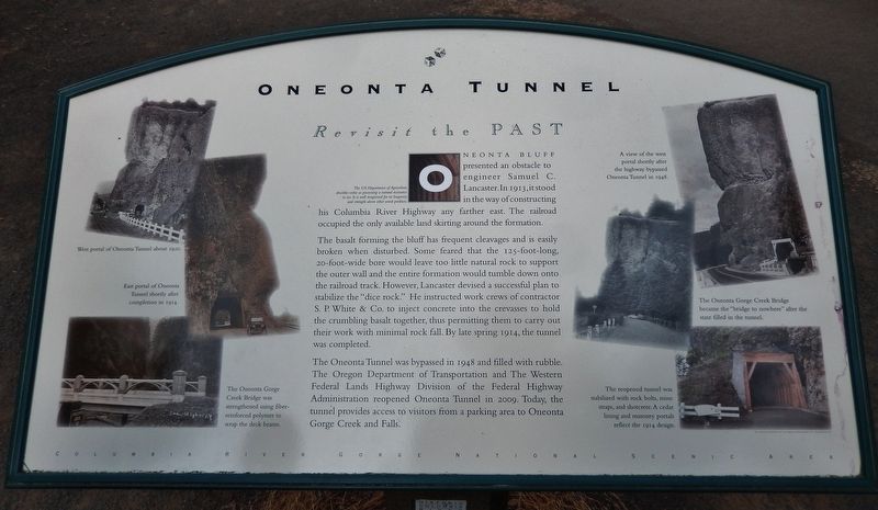
The US Department of Agriculture describes cedar as possessing a natural resistance to rot… It is well recognized for its longevity and strength above other wood products.
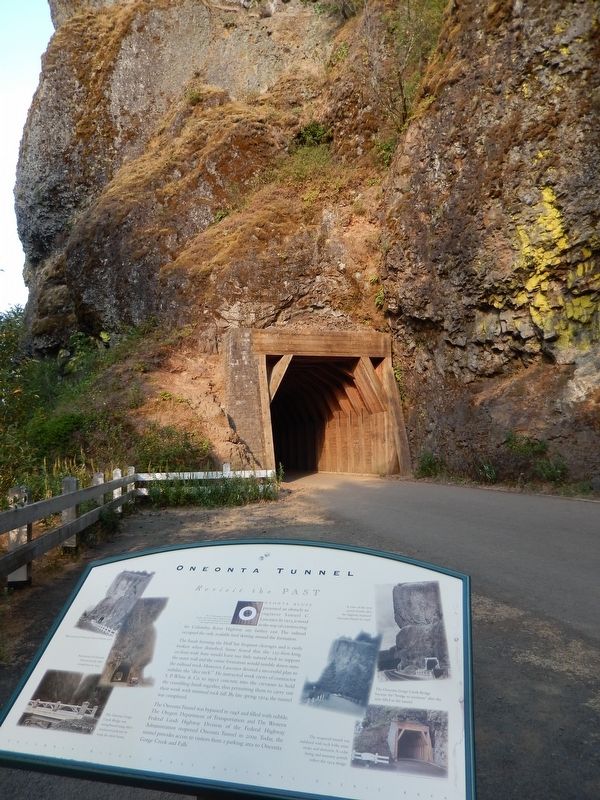
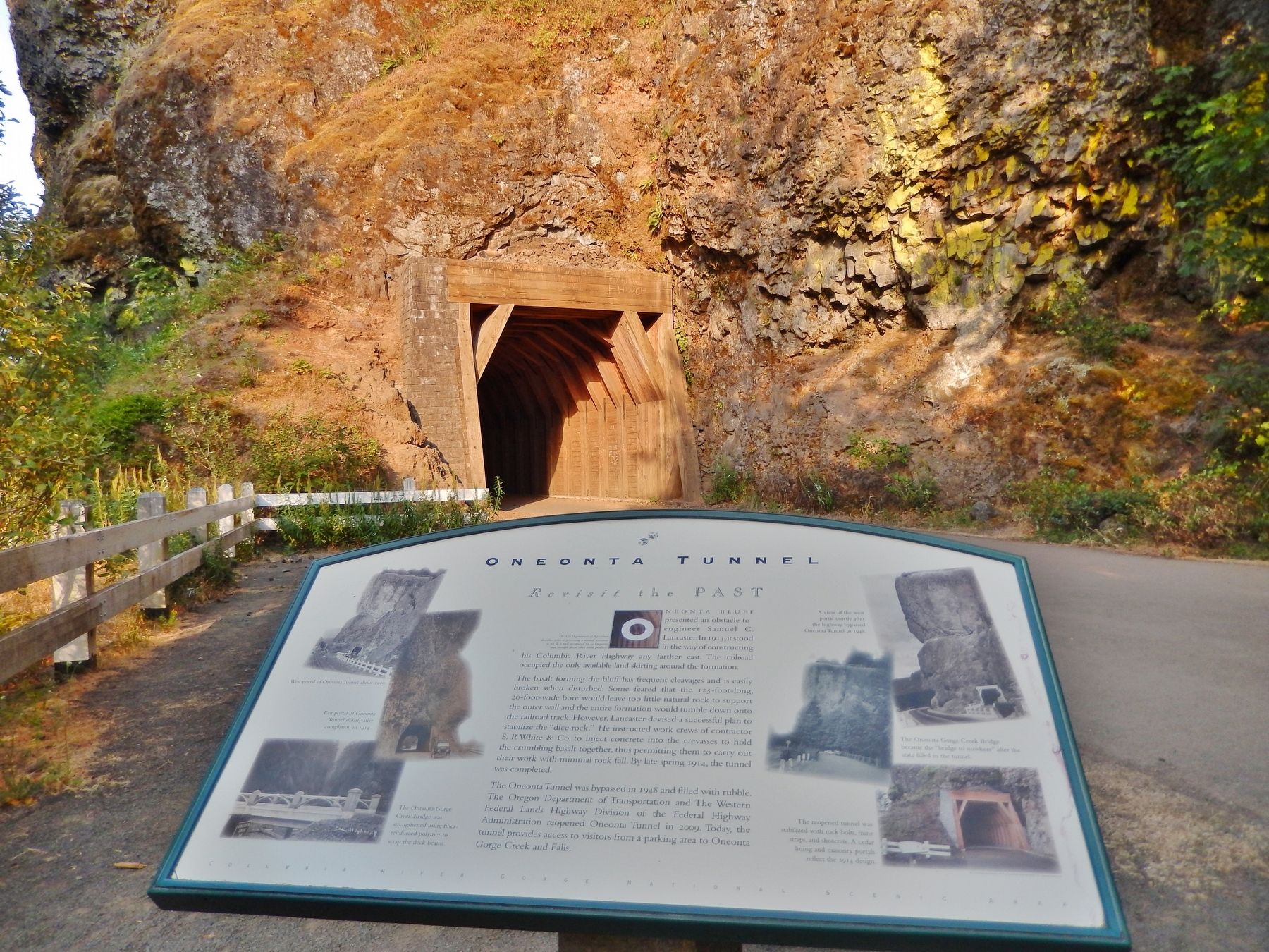
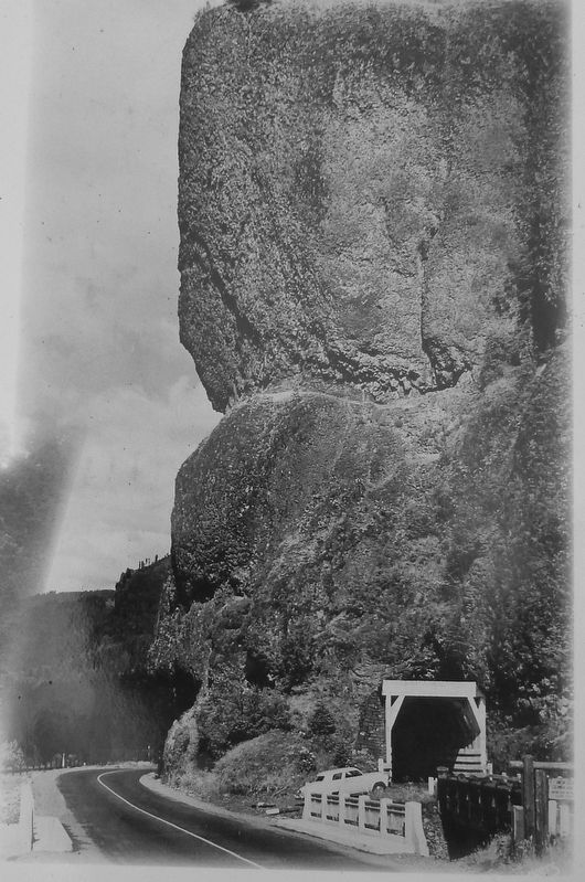
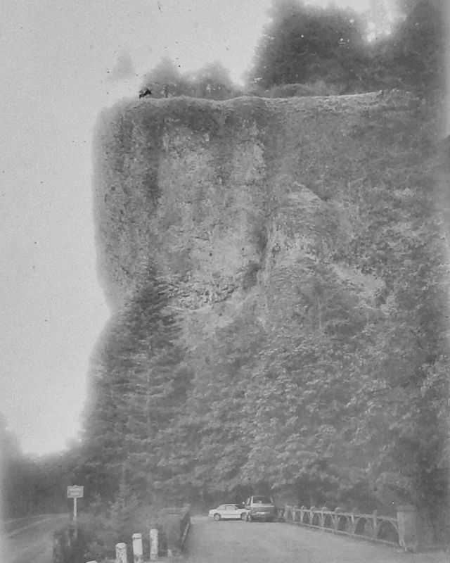
Oneonta Bluff presented an obstacle to engineer Samuel C. Lancaster. In 1913, it stood in the way of constructing his Columbia River Highway any farther east. The railroad occupied the only available land skirting around the formation.
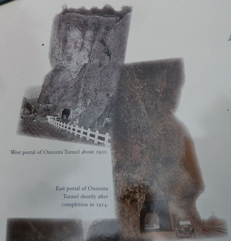
The basalt forming the bluff has frequent cleavages and is easily broken when disturbed. Some feared that the 125-foot-long, 20-foot-wide bore would leave too little natural rock to support the outer wall and the entire formation would tumble down onto the railroad track. However, Lancaster devised a successful plan to stabilize the "dice rock." He instructed work crews of contractor S. P. White & Co. to inject concrete into the crevasses to hold the crumbling basalt together, thus permitting them to carry out their work with minimal rock fall. By late spring 1914, the tunnel was completed.
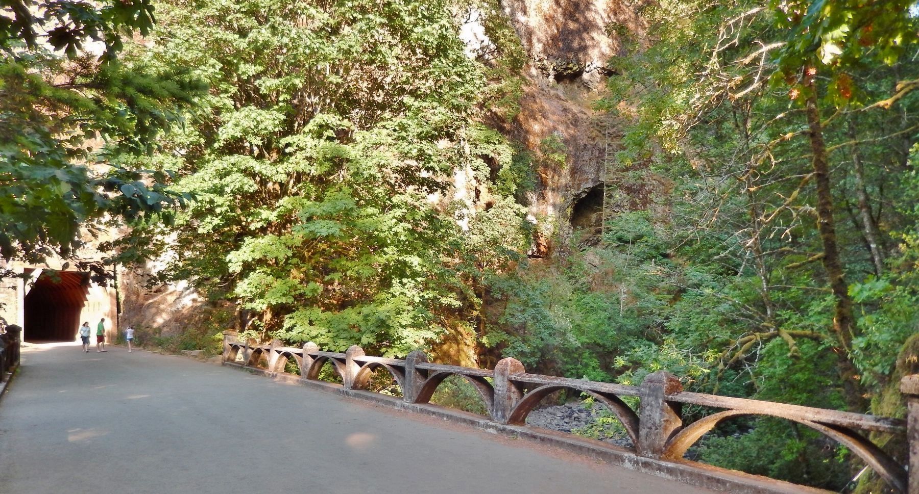
The Oneonta Tunnel was bypassed in 1948 and filled with rubble. The Oregon Department of Transportation and The Western Federal Lands Highway Division of the Federal Highway Administration reopened Oneonta Tunnel in 2009. Today, the tunnel provides access to visitors from a parking area to Oneonta Gorge Creek and Falls.
Topics. This historical marker is listed in these topic lists: Bridges & Viaducts • Man-Made Features • Railroads & Streetcars • Roads & Vehicles. A significant historical year for this entry is 1913.
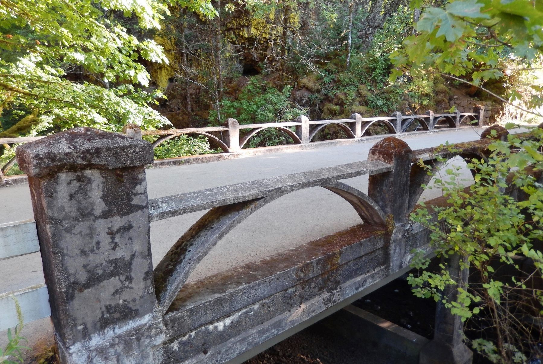
Location. 45° 35.378′ N, 122° 4.516′ W. Marker is near Cascade Locks, Oregon, in Multnomah County. Marker is on Historic Columbia River Highway (U.S. 30) 1.8 miles west of Interstate 84, on the left when traveling west. Marker is located near the west portal of the subject tunnel, along the Oneonta Gorge Trail, at the east end of the Oneonta Gorge Creek Bridge. Touch for map. Marker is in this post office area: Cascade Locks OR 97014, United States of America. Touch for directions.
Other nearby markers. At least 8 other markers are within 8 miles of this marker, measured as the crow flies. Oneonta Gorge (here, next to this marker); Simon Benson (approx. 2.2 miles away); Welcome to Multnomah Falls (approx. 2.2 miles away); Discover Wahkeena Falls (approx. 2.7 miles away); Beacon Rock (approx. 3.8 miles away in Washington); a different marker also named Beacon Rock (approx. 6.4 miles away); Sturgeon Habitat (approx. 6.6 miles away); Bradford Island Fishway (approx. 7.3 miles away). Touch for a list and map of all markers in Cascade Locks.
Related markers. Click here
for a list of markers that are related to this marker.
Also see . . .
1. Oneonta Tunnel. Columbia River Images website entry:
(includes pictures of the tunnel and bridge)
In 1914 the Historic Columbia River Highway crossed Oneonta Creek and proceeded on through a newly-built 125-foot-long tunnel through the 200-foot-high bluff on the creek's right bank. With construction of Interstate 84 the tunnel fell into dis-use and in 1948 the tunnel was filled with debris and vegetation covered up the entrances. In the summer of 2006 the Oneonta Tunnel was dug-out and work began to incorporate the tunnel as part of a walking/bike path along the Historic Columbia River Highway. On August 19, 2006, the tunnel re-opened. (Submitted on January 4, 2018, by Cosmos Mariner of Cape Canaveral, Florida.)
2. Oneonta Gorge Bridge and Tunnel. Scenic USA - Oregon website entry
The Oneonta Gorge tunnel was burned by the Eagle Creek Fire on Monday, September 4, 2017, destroying the wood lining. (Submitted on March 3, 2022, by Larry Gertner of New York, New York.)
Credits. This page was last revised on March 3, 2022. It was originally submitted on January 4, 2018, by Cosmos Mariner of Cape Canaveral, Florida. This page has been viewed 497 times since then and 117 times this year. Photos: 1, 2, 3, 4, 5, 6. submitted on January 4, 2018, by Cosmos Mariner of Cape Canaveral, Florida. 7. submitted on January 17, 2018, by Cosmos Mariner of Cape Canaveral, Florida. 8, 9, 10. submitted on April 20, 2018, by Cosmos Mariner of Cape Canaveral, Florida. • Bill Pfingsten was the editor who published this page.
