Near Cascade Locks in Multnomah County, Oregon — The American West (Northwest)
Oneonta Gorge
A Secret Garden
Using the sunís energy, the chlorophyll in a plantís leaves produce sugars and starches that nourish the plant.
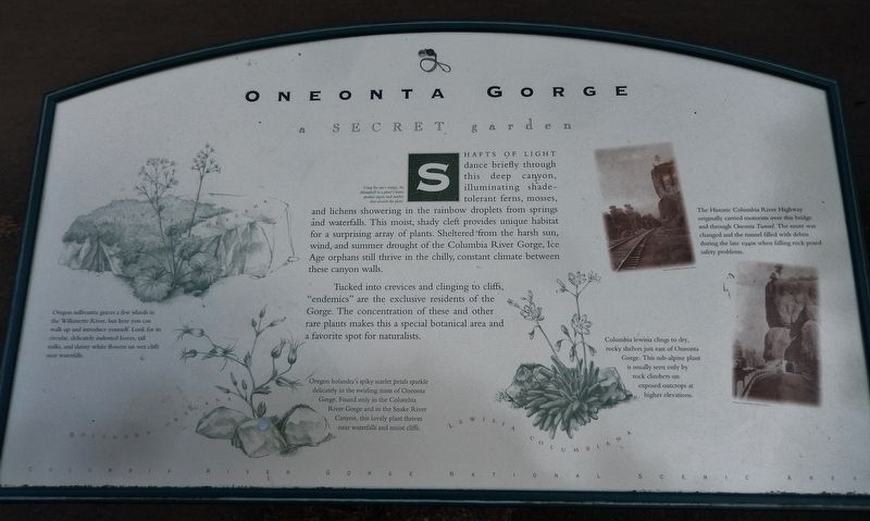
Shafts of light dance briefly through this deep canyon, illuminating shade-tolerant ferns, mosses, and lichens showering in the rainbow droplets from springs and waterfalls. This moist, shady cleft provides unique habitat for a surprising array of plants. Sheltered from the harsh sun, wind, and summer drought of the Columbia River Gorge, Ice Age orphans still thrive in the chilly, constant climate between these canyon walls.
Tucked into crevices and clinging to cliffs, "endemics" are the exclusive residents of the Gorge. The concentration of these and other rare plants makes this a special botanical area and a favorite spot for naturalists.
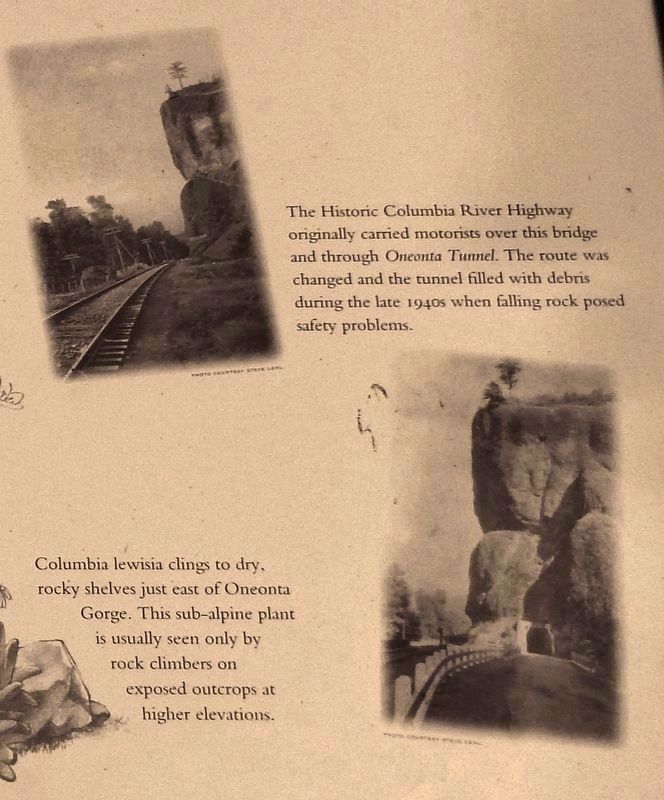
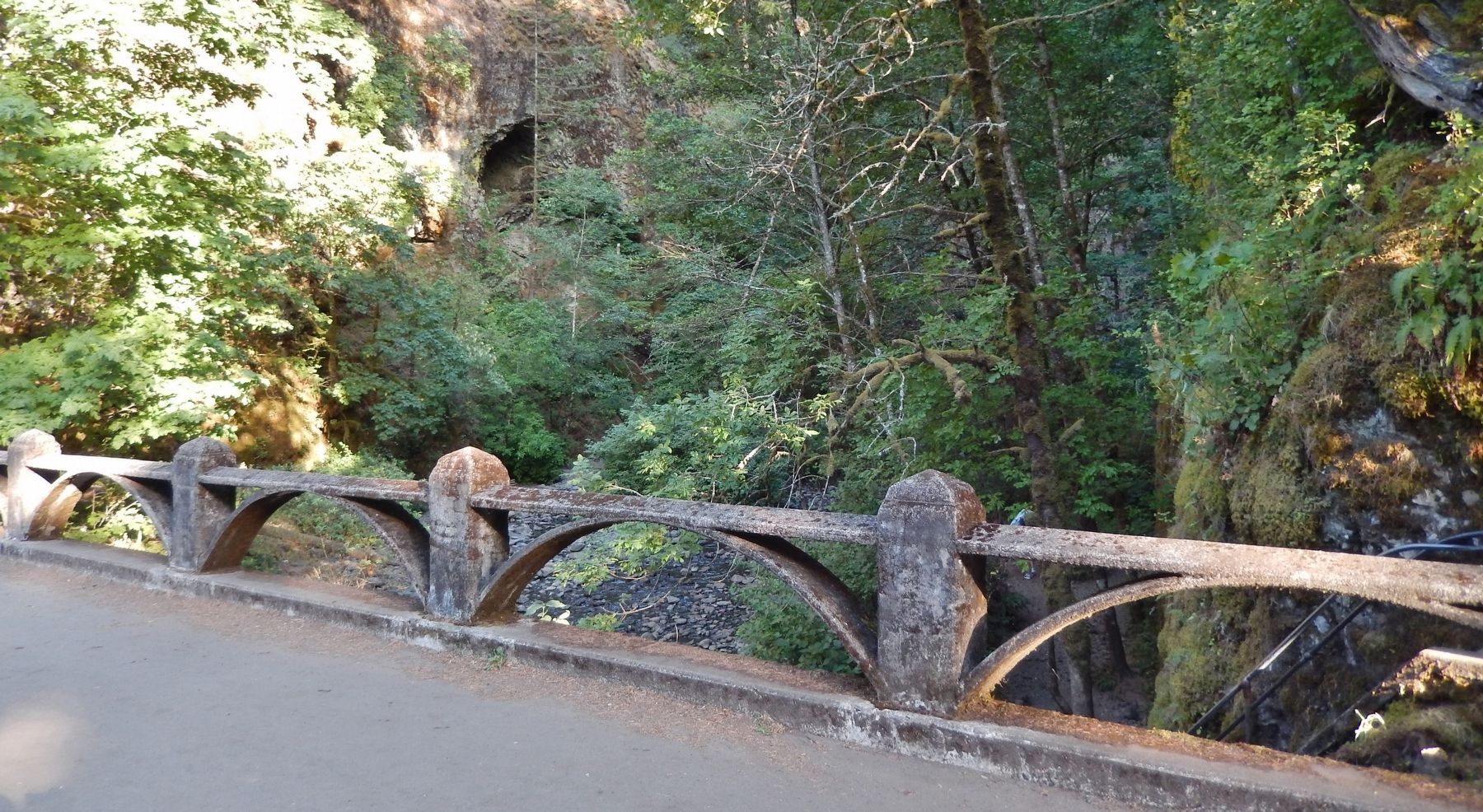
The Historic Columbia River Highway originally carried motorists over this bridge and through Oneonta Tunnel. The route was changed and the tunnel filled with debris during the late 1940s when falling rock posed safety problems.
Oregon sullivantia graces a few islands in the Willamette River, but here you can walk up and introduce yourself. Look for its circular, delicately indented leaves, tall stalks and dainty white flowers on wet cliffs near waterfalls.
Columbia lewisia clings to dry, rocky shelves just east of Oneonta Gorge. This sub-alpine plant is usually seen only by-rock climbers on exposed outcrops at higher elevations.
Oregon bolandra's spiky scarlet petals sparkle delicately in the swirling mists of Oneonta Gorge. Found only in the Columbia River Gorge and in the Snake River Canyon, this lovely plant thrives near waterfalls and moist cliffs.
Topics. This historical marker is listed in these topic lists: Environment • Man-Made Features • Roads & Vehicles.
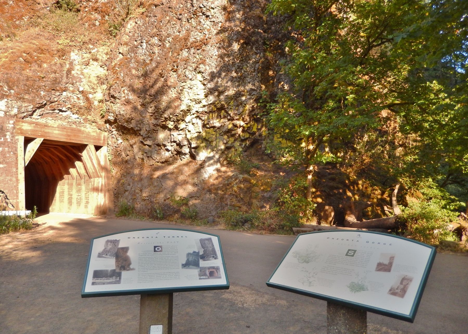
Location. 45° 35.377′ N, 122° 4.517′ W. Marker is near Cascade Locks, Oregon, in Multnomah County. Marker is on Historic Columbia River Highway (U.S. 30) 1.8 miles west of Interstate 84, on the left when traveling west. Marker is located near the west portal of the Oneonta Tunnel, along the Oneonta Gorge Trail, at the east end of the Oneonta Gorge Creek Bridge. Touch for map. Marker is in this post office area: Cascade Locks OR 97014, United States of America. Touch for directions.
Other nearby markers. At least 8 other markers are within 8 miles of this marker, measured as the crow flies. Oneonta Tunnel (here, next to this marker); Simon Benson (approx. 2.2 miles away); Welcome to Multnomah Falls (approx. 2.2 miles away); Discover Wahkeena Falls
(approx. 2.7 miles away); Beacon Rock (approx. 3.8 miles away in Washington); a different marker also named Beacon Rock (approx. 6.4 miles away); Sturgeon Habitat (approx. 6.6 miles away); Bradford Island Fishway (approx. 7.3 miles away). Touch for a list and map of all markers in Cascade Locks.
Related markers. Click here for a list of markers that are related to this marker.
Credits. This page was last revised on January 12, 2018. It was originally submitted on January 4, 2018, by Cosmos Mariner of Cape Canaveral, Florida. This page has been viewed 247 times since then and 20 times this year. Photos: 1. submitted on January 4, 2018, by Cosmos Mariner of Cape Canaveral, Florida. 2, 3, 4. submitted on January 5, 2018, by Cosmos Mariner of Cape Canaveral, Florida. • Bill Pfingsten was the editor who published this page.


