4 entries match your criteria.
Related Historical Markers
Markes dedicated to the DeWitt Treaty and other Cherokee boundary lines.
By Brian Scott, February 7, 2011
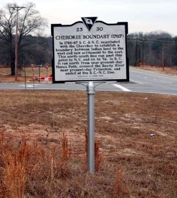
Cherokee Boundary (1767) Marker -
Front
SHOWN IN SOURCE-SPECIFIED ORDER
| On McCarter Drive (State Highway 418) west of Interstate 385, on the right when traveling west. |
| On South Highway 14 (State Highway 14), on the left when traveling north. |
| On North Main Street (State Highway 184) at College Street (State Highway 20), on the left when traveling south on North Main Street. |
May. 25, 2024