2 entries match your criteria.
Related Historical Markers
By Cosmos Mariner, July 9, 2015
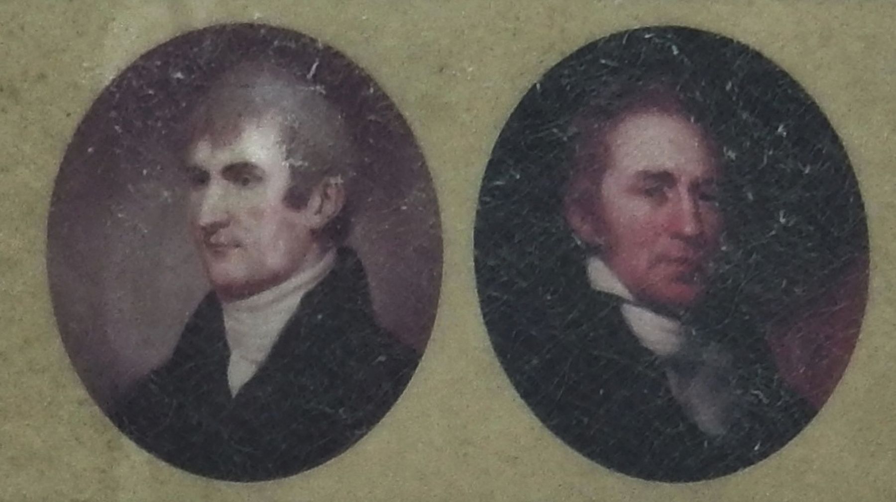
Marker detail: Lewis & Clark
SHOWN IN SOURCE-SPECIFIED ORDER
| 1 ► Oregon, Clatsop County, Astoria — The Lewis and Clark Expedition — |
| In 1804-06, Captains Meriwether Lewis and William Clark led about 40 soldiers and boatmen on an epic journey. President Thomas Jefferson commissioned this "Corps of Discovery" to find a route to the Pacific Ocean through the newly acquired Louisiana . . . — — Map (db m114094) HM | |||
| 2 ► Oregon, Clatsop County, Astoria — "Ocian in view, O! the Joy..." — |
| The Corps of Discovery traveled thousands of miles and endured many hardships to reach the Pacific Ocean in mid-November 1895. The last sixteen miles down the Columbia River took ten days because of bad weather. The explorers huddled among the rocks . . . — — Map (db m113006) HM | |||