6 entries match your criteria.
Related Historical Markers
By Mark Hilton, October 24, 2017
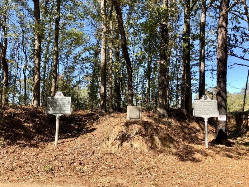
Bowen's Counterattack Marker to right of two other markers.
SHOWN IN SOURCE-SPECIFIED ORDER
| | On the morning of May 16, 1863, Gen. Pemberton placed his three
Confederate divisions along a two-mile front extending from the
Raymond Road on the south to the Middle Road on the north - Loring
on the right, Bowen in the center and Stevenson on . . . — — Map (db m109210) HM |
| | The Crossroads is a junction formed by the Middle Road from the east, the Ratliff plantation road from the south and the Jackson Road from the north as it descends from the crest of Champion Hill and turns west. At 1:30 p.m. on May 16, 1863, Federal . . . — — Map (db m109298) HM |
| | "I found General Hovey's command drawn up in line
of battle, his right resting on the left of the main road, the
enemy, as I learned, having been discovered in force
strongly posted on a high ridge known as Champion's
Hill, and apparently well . . . — — Map (db m109310) HM |
| | General Lloyd Tilghman, a graduate of West Point Military Academy,
settled in Kentucky after the Mexican War. In October, 1861, Tilghman
was commissioned Brigadier General in the Confederate Army.
At Champion Hill he led a brigade whose . . . — — Map (db m109556) HM |
| | "I cannot think of this bloody hill without
sadness and pride. Sadness for the great loss of
my true and gallant men; pride for the heroic
bravery they displayed. No prouder division
ever met as vastly superior foe and fought with
more . . . — — Map (db m109305) HM |
| | The Battle on Champion Hill raged back and forth for hours,
earning the site a reputation as "the hill of death." As more Union
reinforcements arrived, Pemberton gave the order to retreat. With
Pemberton's army in danger of being trapped, a . . . — — Map (db m109561) HM |
Apr. 25, 2024