4 entries match your criteria.
Related Historical Markers
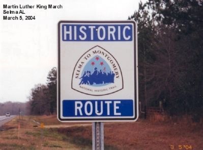
By Don Morfe, January 17, 2007
Selma to Monrgomery Trail Marker
SHOWN IN SOURCE-SPECIFIED ORDER
| On U.S. 80 at milepost 92 at County Road 67 on U.S. 80. |
| | Hall Farm
March 21, 1965 — — Map (db m61846) HM |
| On U.S. 80, 1.1 miles east of White Hall Road, on the right when traveling west. |
| | Rosie Steele Farm
March 22, 1965 — — Map (db m70954) HM |
| On Frederick Douglass Road at U.S. 80, on the left when traveling south on Frederick Douglass Road. |
| | Robert Gardner Farm
March 23, 1965 — — Map (db m61847) HM |
| On West Fairview Avenue, 0.1 miles west of Oak Street, on the right when traveling west. |
| | (side 1)
City of St. Jude
Founded by Father Harold Purcell in the 1930s, the City of St. Jude included church, school, medical facilities, social center and rectory. Its mission was to provide spiritual, educational, social and . . . — — Map (db m86070) HM |
Apr. 29, 2024