5 entries match your criteria.
Related Historical Markers
Blue Ridge Heritage Trail
By High Country Host
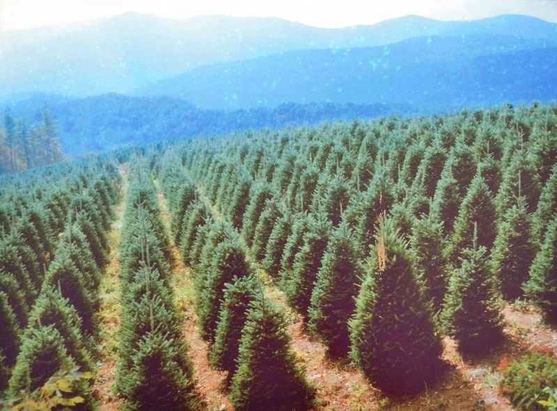
Marker detail: Christmas trees
SHOWN IN SOURCE-SPECIFIED ORDER
| On Blue Ridge Parkway (at milepost 236.9), on the right when traveling south. |
| Near Blue Ridge Parkway (at milepost 294), 2 miles west of U.S. 221, on the left when traveling south. |
| On Blue Ridge Parkway (at milepost 411), 0.9 miles north of U.S. 276, on the right when traveling north. |
| On Phillips Street at West Main Street (Business U.S. 441), on the right when traveling north on Phillips Street. |
| On Phillips Street at Stewart Street, on the right when traveling south on Phillips Street. |
May. 17, 2024