5 entries match your criteria.
Related Historical Markers
St. Augustine City Wall & Gate
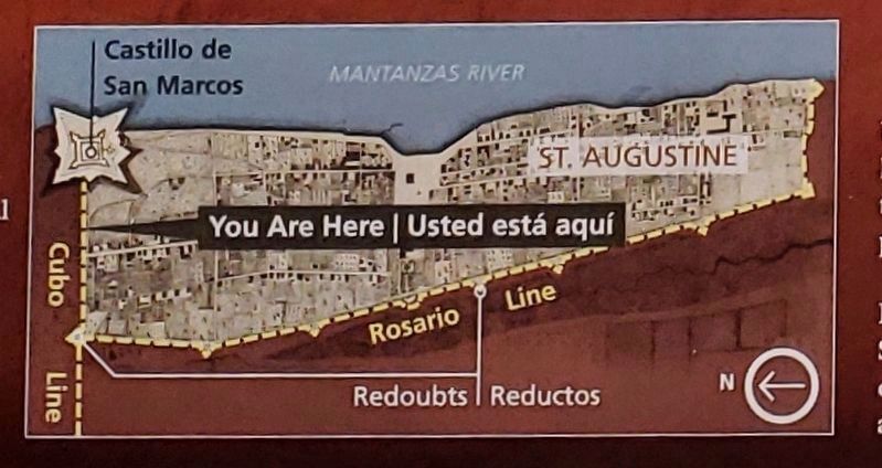
Marker detail: Fort, city and wall map
SHOWN IN SOURCE-SPECIFIED ORDER
| On South Castillo Drive (State Highway A1A) at Orange Street, on the right when traveling north on South Castillo Drive. |
| | English:
Wall of Defense
The log wall at your right is a replica of the Cubo Line. The earth-and-palm-log embankment extended from the Castillo to the San Sebastian River a half-mile behind you. Two defensive walls . . . — — Map (db m128188) HM |
| On South Castillo Drive (State Highway A1A) at Orange Street, on the right when traveling south on South Castillo Drive. |
| | English:
Safe Haven
Farmers bring crops and food from their fields surrounding the town. Open for trade during the day, but locked up at night, this city gate is the entrance to early 1800s civilization. Here in St. . . . — — Map (db m128083) HM |
| On Orange Street at St. George Street, on the left when traveling east on Orange Street. |
| | This Gate opened in 1739, provided the only
access through the defense line
on the north side of Spanish St. Augustine.
Royal Engineer Manuel de Hita
built these coquina pillars in 1808.
This tablet was originally erected in . . . — — Map (db m127892) HM |
| On South Castillo Drive (Business U.S. 1) at Orange Street, on the right when traveling north on South Castillo Drive. |
| | The burning of St. Augustine by the English in 1702 showed the need for additional defenses. The first of these was a palisade on this site. Later the defense was improved and extended around the town. Thereafter, no attack ever reached the homes . . . — — Map (db m127895) HM |
| On South Castillo Drive (Business U.S. 1) at Orange Street, on the left when traveling north on South Castillo Drive. |
| | For strength and beauty, the gateway in this palm log defense line was built of white-plastered stone, with red-roofed towers (1808). — — Map (db m127891) HM |
May. 27, 2024