9 entries match your criteria.
Related Historical Markers
Fort Cooper, The Seminole Heritage Trail, and the Second Seminole War
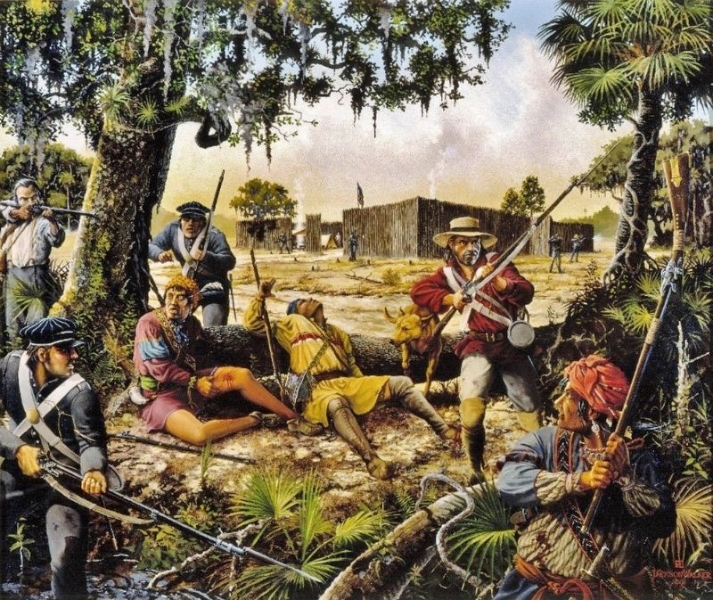
Marker detail: The siege of Ft. Cooper is depicted by Florida artist Jackson Walker
SHOWN IN SOURCE-SPECIFIED ORDER
| Near Old Floral City Road, 0.2 miles south of Carnegie Drive, on the right when traveling south. |
| Near Old Floral City Road, 0.2 miles south of Carnegie Drive, on the right when traveling south. |
| Near Old Floral City Road, 0.2 miles south of Carnegie Drive, on the right when traveling south. |
| Near Old Floral City Road, 0.2 miles south of Carnegie Drive, on the right when traveling south. |
| Near Old Floral City Road, 0.2 miles south of Carnegie Drive, on the right when traveling south. |
| Near Old Floral City Road, 0.2 miles south of Carnegie Drive, on the right when traveling south. |
| Near Old Floral City Road, 0.2 miles south of Carnegie Drive, on the right when traveling south. |
| Near South Florida Avenue (U.S. 41) 0.5 miles north of East Fort Cooper Road, on the right when traveling north. |
| On South Old Floral City Road, 0.2 miles south of Carnegie Drive, on the right when traveling south. |
May. 29, 2024