2 entries match your criteria.
Related Historical Markers
By Cosmos Mariner, July 18, 2019
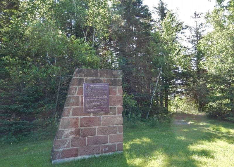
Survey of Prince Edward Island Monument & Marker
SHOWN IN SOURCE-SPECIFIED ORDER
| 1 ► Prince Edward Island, Queens County, Rocky Point — Survey of Prince Edward Island / Arpentage de Ľîle-du-Prince-Édouard — |
| | |||
| 2 ► Prince Edward Island, Queens County, Rocky Point — A Great Survey / Un Arpentage de Taille — |
| | |||