Rocky Point in Queens County, Prince Edward Island — The Atlantic Provinces (North America)
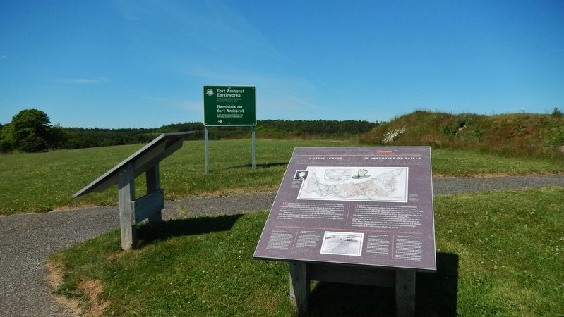
A Great Survey / Un Arpentage de Taille
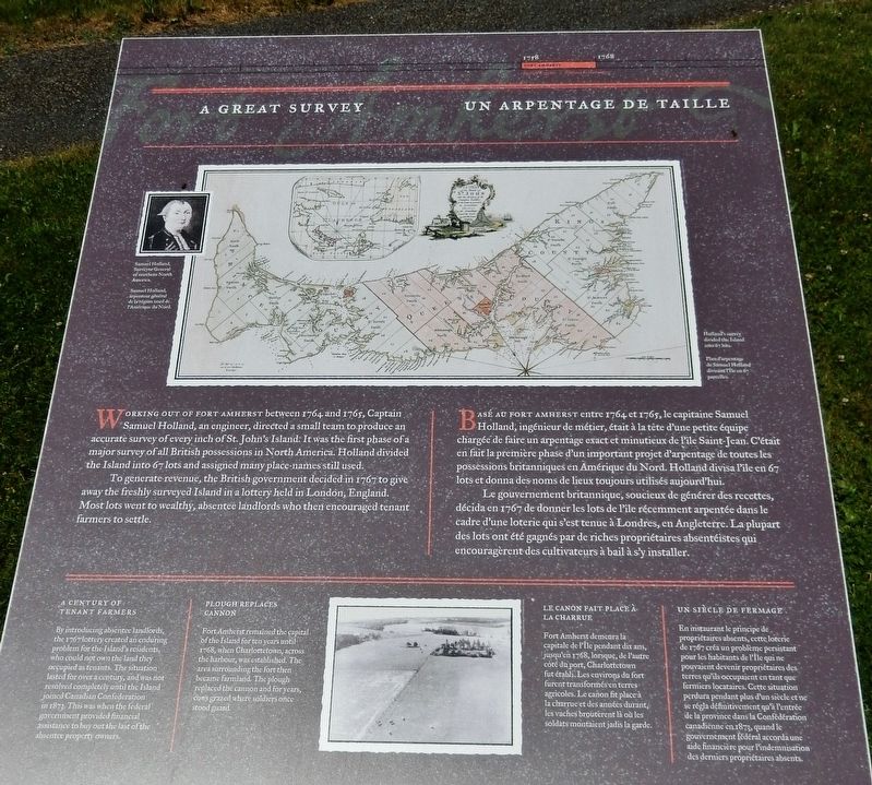
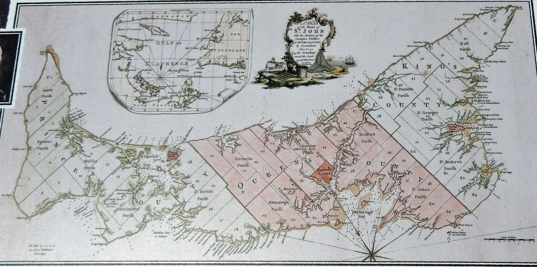
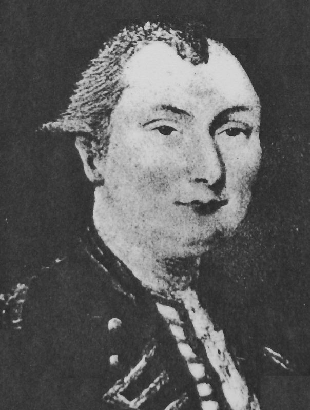
Working out of Fort Amherst between 1764 and 1765, Captain Samuel Holland, an engineer, directed a small team to produce an accurate survey of every inch of St. John's Island. It was the first phase of a major survey of all British possessions in North America. Holland divided the Island into 67 lots and assigned many place-names still used.
To generate revenue, the British government decided in 1767 to give away the freshly surveyed Island in a lottery held in London, England. Most lots went to wealthy, absentee landlords who then encouraged tenant farmers to settle.
A Century of Tenant Farmers
By introducing absentee landlords, the 1767 lottery created an enduring problem for the Island’s residents, who could not own the land they occupied as tenants. The situation lasted for over a century, and was not resolved completely until the Island joined Canadian Confederation in 1873. This was when the federal government provided financial assistance to buy out the last of the absentee property owners.
Plough Replaces Cannon
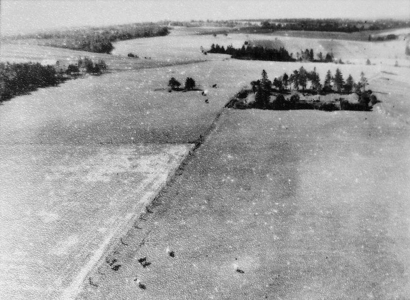
Fort Amherst remained the capital of the Island for ten years until 1768, when Charlottetown, across the harbour, was established. The area surrounding the fort then became farmland. The plough replaced the cannon and for years, cows grazed where soldiers once stood guard.
Basé au Fort Amherst entre 1764 et 1765, le capitaine Samuel Holland, ingénieur de métier, était à la tête d'une petite équipe chargée de faire un arpentage exact et minutieux de l'île Saint-Jean. C'était en fait la première phase d'un important projet d'arpentage de toutes les possessions britanniques en Amérique du Nord. Holland divisa l'île en 67 lots et donna des noms de lieux toujours utilisés aujourd'hui.
Le gouvernement britannique, soucieux de générer des recettes, décida en 1767 de donner les lots de l'île récemment arpentée dans le cadre d’une loterie qui s’est tenue à Londres, en Angleterre. La plupart des lots ont été gagnés par de riches propriétaires absentéistes qui encouragèrent des cultivateurs à bail à s’y installer.
Un Siècle de Fermage
En instaurant le principe de propriétaires absents, cette loterie de 1767 créa un problème persistant pour les habitants de l’Île qui ne pouvaient devenir propriétaires des terres qu’ils occupaient en tant que fermiers locataires. Cette situation perdura pendant plus d’un siècle et ne se régla définitivement qu’à l’entrée de la province dans
la Confédération canadienne en 1873, quand le gouvernement fédéral accorda une aide financière pour l’indemnisation des derniers propriétaires absents.
Le Canon Fait Place à la Charrue
Fort Amherst demeura la capitale de l’Île pendant dix ans, jusqu’en 1768, lorsque, de l’autre côté du port, Charlottetown fut établi. Les environs du fort furent transformés en terres agricoles. Le canon fit place à la charrue et des années durant, les vaches broutèrent là où les soldats montaient jadis la garde.
Topics. This historical marker is listed in these topic lists: Colonial Era • Settlements & Settlers. A significant historical year for this entry is 1764.
Location. 46° 11.812′ N, 63° 8.178′ W. Marker is in Rocky Point, Prince Edward Island, in Queens County. Marker can be reached from Hache Gallant Drive, 1.2 kilometers east of Prince Edward Island Route 19, on the left when traveling east. Marker is located along the heritage trail at Skmaqn–Port-la-Joye–Fort Amherst National Historic Site. Touch for map. Marker is at or near this postal address: 191 Hache Gallant Drive, Rocky Point PE C0A 1H2, Canada. Touch for directions.
Other nearby markers. At least 8 other markers are within walking distance of this marker. The British Period / La période britannique (here, next to this marker); The Grand Dérangement (within shouting distance of this marker); A Human Tragedy / Une tragédie humaine (within shouting distance of this marker);
Port of Entry / Port d’entrée (within shouting distance of this marker); Michel Haché-Gallant (about 90 meters away, measured in a direct line); The Mi'kmaq / Les Mi'kmaq (about 120 meters away); Place Yourself in History / Situez-vous dans l’histoire (about 150 meters away); Michel Haché-Gallant et Anne Cormier (about 150 meters away). Touch for a list and map of all markers in Rocky Point.
Related markers. Click here for a list of markers that are related to this marker. Skmaqn–Port-la-Joye–Fort Amherst National Historic Site
Also see . . .
1. Samuel Johannes Holland. Armed with a wide range of scientific instruments and assisted by the deputy surveyor, Thomas Wright, and a number of engineer officers, volunteer apprentices, non-commissioned officers, and privates, Holland conducted his survey of St John’s Island under harsh climatic conditions. He divided it into counties of approximately 500,000 acres, parishes of around 100,000 acres, and townships of about 20,000 acres, surveying them with precision by fixing latitudes and longitudes from astronomical observation; he also took careful soundings in coastal waters. (Submitted on June 24, 2020, by Cosmos Mariner of Cape Canaveral, Florida.)
2. Remembering PEI's first modern cartographer. The map had to be as accurate as it was because it was going to be used as the basis for legal documents, there were going to be deeds spun off of it. The map was purely an instrument so that lots could be granted in the land lottery of 1767. Even today, a lot of the secondary and tertiary roads are very precisely laid out in a way that echoes the lot lines Holland established, even though those lines aren’t on the map any more. (Submitted on June 24, 2020, by Cosmos Mariner of Cape Canaveral, Florida.)
Credits. This page was last revised on June 24, 2020. It was originally submitted on June 23, 2020, by Cosmos Mariner of Cape Canaveral, Florida. This page has been viewed 135 times since then and 19 times this year. Photos: 1, 2, 3, 4, 5. submitted on June 24, 2020, by Cosmos Mariner of Cape Canaveral, Florida.
