4 entries match your criteria.
Related Historical Markers
The Erie Canal in Canastota, New York
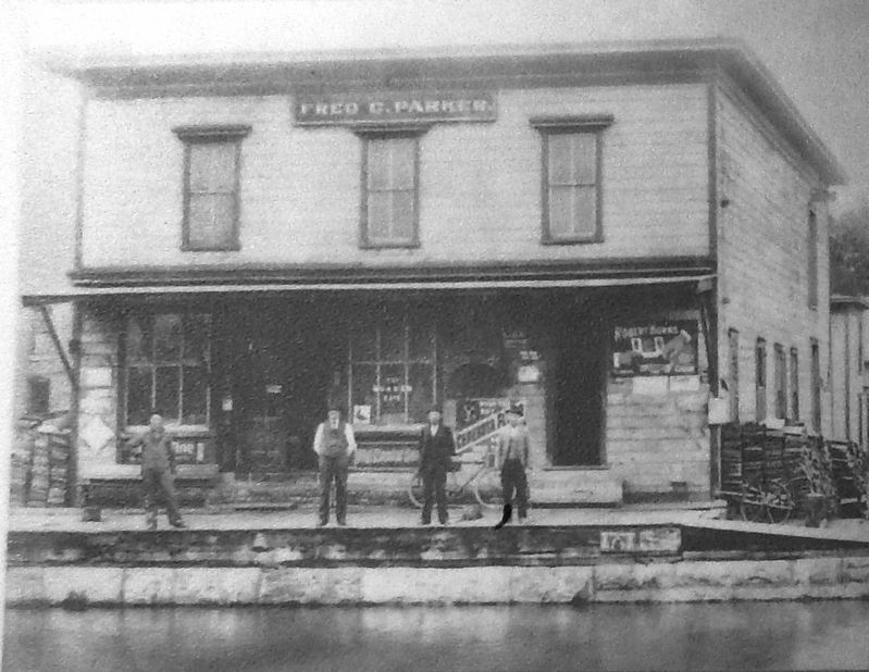
Marker detail: Fred C. Parker's Provision Store
SHOWN IN SOURCE-SPECIFIED ORDER
| On Canal Street (County Route 76) west of South Peterboro Street (New York State Route 13), on the left when traveling west. |
| On Canal Street (County Route 76) west of South Peterboro Street (New York State Route 13), on the left when traveling west. |
| On Canal Street (County Route 76) at Commerce Street, on the left when traveling west on Canal Street. |
| On South Peterboro Street (New York State Route 13) at Canal Street (County Route 76), on the right when traveling north on South Peterboro Street. |
May. 15, 2024