Canastota in Madison County, New York — The American Northeast (Mid-Atlantic)
Enlarging the Erie Canal
Erie Canalway National Heritage Corridor
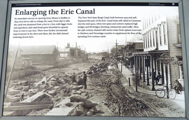
Its immediate success on opening from Albany to Buffalo in 1825 soon led to calls to enlarge the canal. From 1836 to 1862 the canal was deepened from 4 feet to 7 feet, with bigger locks and aqueducts, and canal boats grew threefold in capacity from 70 tons to 240 tons. There were further incremental improvements in the 1870s and 1890s, like the 1898 channel widening shown here.
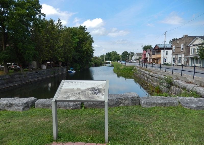
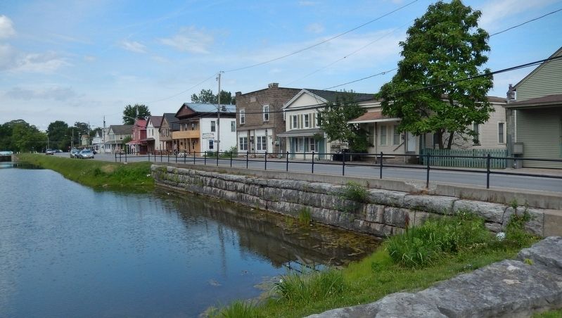
The New York State Barge Canal, built between 1905 and 1918, bypassed this part of the Erie. Canal boats still called at Canastota into the mid-1920s, when low spans and culverts replaced high bridges and lift bridges, blocking commercial canal traffic. Here the 19th-century channel still carries water from upland reservoirs in Madison and Onondaga counties to supplement the flow of the operating 21st-century canal.
Erected by National Park Service, U.S. Department of the Interior.
Topics and series. This historical marker is listed in these topic lists: Industry & Commerce • Man-Made Features • Waterways & Vessels. In addition, it is included in the Erie Canal series list. A significant historical year for this entry is 1898.
Location. 43° 4.764′ N, 75° 45.127′ W. Marker is in Canastota, New York, in Madison County. Marker is at the intersection of Canal Street (County Route 76) and Commerce Street, on the left when traveling west on Canal Street. Marker is located near the southwest corner of the intersection, overlooking a former section of the Erie Canal now known as Pools Brook. Touch for map. Marker is in this post office area: Canastota NY 13032, United States of America. Touch for directions.
Other nearby markers. At least 8 other markers are within walking distance of this marker. Canastota's Basin (here, next to this marker); Canal Town (within shouting distance of this marker); Canal Street (within shouting distance of this marker); Peterboro Street Lift Bridge (within shouting distance of this marker); Canastota's Lift Bridge (within shouting distance of this marker); Reuben Perkins (within shouting distance of this marker); Industrial Growth / Canalway Trail (about 300 feet away, measured in a direct line); Bruce Opera House (about 300 feet away). Touch for a list and map of all markers in Canastota.
Related markers. Click here for a list of markers that are related to this marker. The Erie Canal in Canastota, New York
Also see . . . Enlarging the Canal. New York Heritage Digital Collection: Two Hundred Years on the Erie Canal website entry (Submitted on November 17, 2021, by Larry Gertner of New York, New York.)
Credits. This page was last revised on November 18, 2021. It was originally submitted on September 13, 2019, by Cosmos Mariner of Cape Canaveral, Florida. This page has been viewed 223 times since then and 24 times this year. Photos: 1, 2, 3. submitted on September 15, 2019, by Cosmos Mariner of Cape Canaveral, Florida.


