4 entries match your criteria.
Related Historical Markers
Point Iroquois Light Station, Michigan
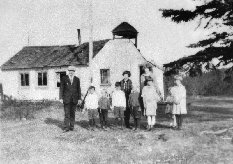
Marker detail: One-room schoolhouse at Point Iroquois, early 1900s
SHOWN IN SOURCE-SPECIFIED ORDER
| Near West Lakeshore Drive (Iroquois Road), 0.7 miles east of South Monocle Lake Road, on the left when traveling east. |
| Near West Lakeshore Drive (Iroquois Road), 0.7 miles east of South Monocle Lake Road, on the left when traveling east. |
| Near West Lakeshore Drive (Iroquois Road), 0.7 miles east of South Monocle Lake Road, on the left when traveling east. |
| Near West Lakeshore Drive (Iroquois Road), 0.7 miles east of South Monocle Lake Road, on the left when traveling east. |
May. 18, 2024