Near Brimley in Chippewa County, Michigan — The American Midwest (Great Lakes)
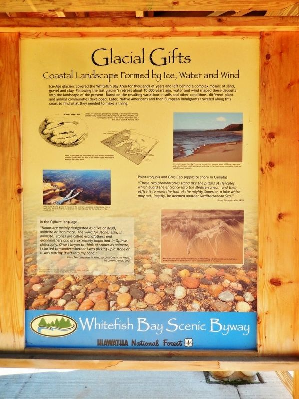
Glacial Gifts
Coastal Landscape Formed by Ice, Water and Wind
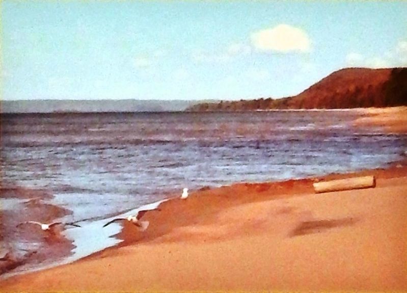
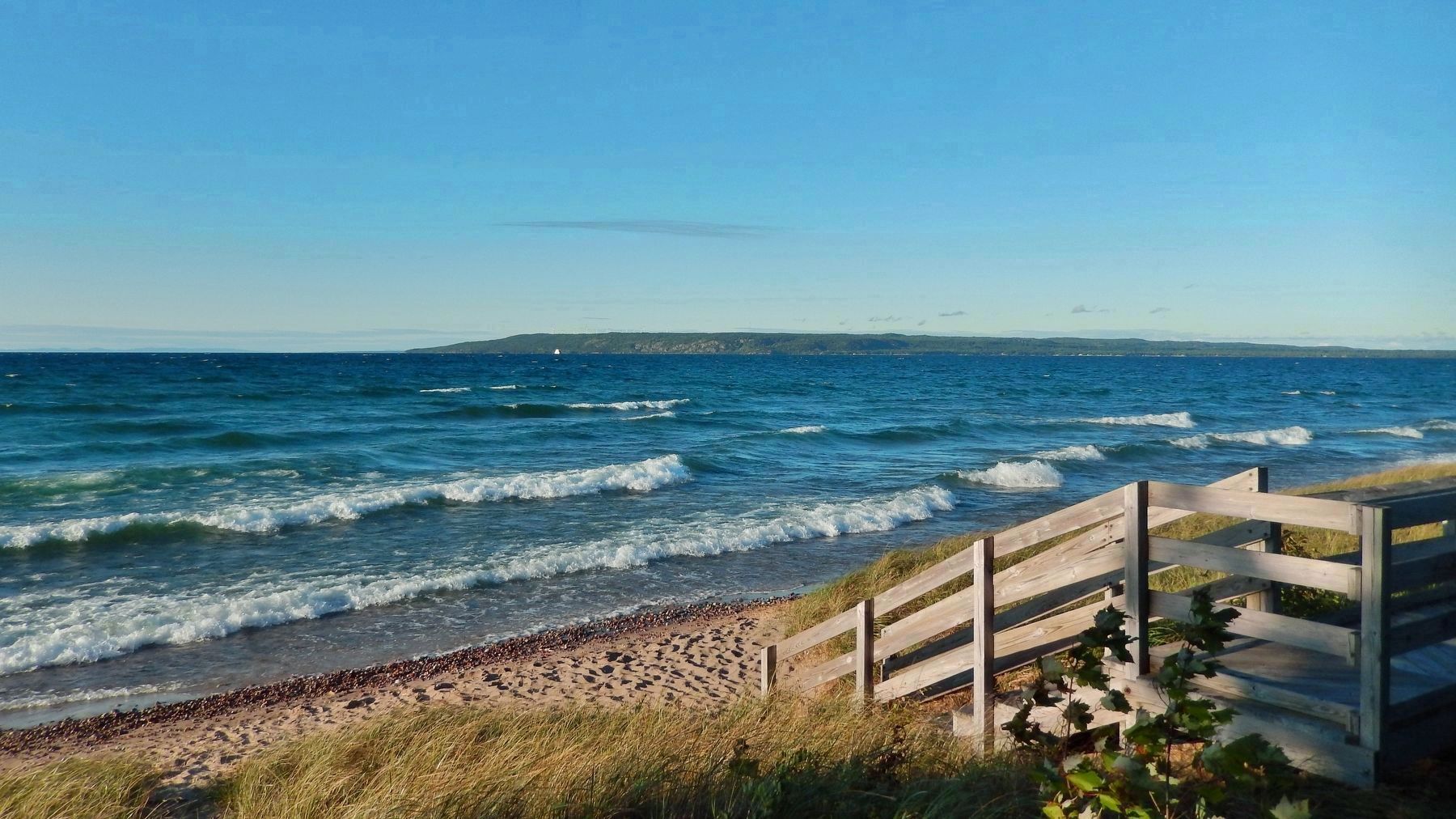
Point Iroquois and Gros Cap (opposite shore in Canada)
"These two promontories stand like the pillars of Hercules which guard the entrance into the Mediterranean, and their office is to mark the foot of the mighty Superior, a lake which may not, inaptly, be deemed another Mediterranean Sea."
—Henry Schoolcraft, 1851
In the Ojibwe language...
"Nouns are mainly designated as alive or dead, animate or inanimate. The word for stone, asin, is animate. Stones are called grandfathers and grandmothers and are extremely important in Ojibwe philosophy. Once I began to think of stones as animate, I started to wonder whether I was picking up a stone or it was putting itself into my hand."
From Two Languages in Mind, but Just One in the Heart,
by Louise Erdrich, 2009
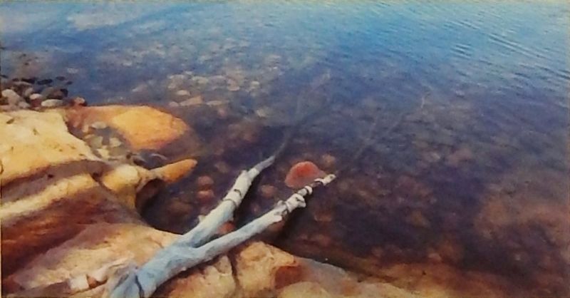
Background Photo: Glaciers carried many of these stones here from bedrock formations located to the North in Canada.
Erected by Whitefish Bay Scenic Byway and Hiawatha National Forest.
Topics. This historical marker is listed in these topic lists: Native Americans • Settlements & Settlers • Waterways & Vessels.
Location. 46° 29.043′ N, 84° 37.892′ W. Marker is near Brimley, Michigan, in Chippewa County. Marker can be reached from West Lakeshore Drive (Iroquois Road), 0.7 miles east of South Monocle Lake Road, on the left when traveling east. Marker is located in a boardwalk kiosk at the east end of the Point Iroquois Light Station parking lot. Touch for map. Marker is at or near this postal address: 12942 West Lakeshore Drive, Brimley MI 49715, United States of America. Touch for directions.
Other nearby markers. At least 4 other markers are within walking distance of this marker. Place of the Iroquois Bones (here, next to this marker); Point Iroquois Light Station (here, next to this marker); Anishinabeg (here, next to this marker); Point Iroquois (within shouting distance of this marker).
Related markers. Click here for a list of markers that are related to this marker. Point Iroquois Light Station, Michigan
Also see . . . The Interesting and Tumultuous History of Gros Cap
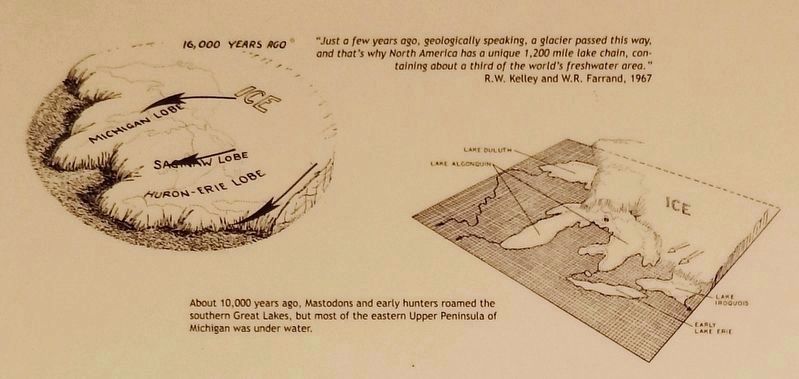
2. Marker detail: 16,000 Years Ago
"Just a few years ago, geologically speaking, a glacier passed this way, and that's why North America has a unique 1,200 mile lake chain, containing about a third of the world's freshwater area."
—R.W. Kelley and W.R. Farrand, 1967
About 10,000 years ago, Mastodons and early hunters roamed the southern Great Lakes, but most of the eastern Upper Peninsula of Michigan was under water.
—R.W. Kelley and W.R. Farrand, 1967
About 10,000 years ago, Mastodons and early hunters roamed the southern Great Lakes, but most of the eastern Upper Peninsula of Michigan was under water.
Credits. This page was last revised on August 9, 2020. It was originally submitted on August 8, 2020, by Cosmos Mariner of Cape Canaveral, Florida. This page has been viewed 108 times since then and 3 times this year. Photos: 1. submitted on August 8, 2020, by Cosmos Mariner of Cape Canaveral, Florida. 2, 3, 4, 5, 6. submitted on August 9, 2020, by Cosmos Mariner of Cape Canaveral, Florida.
