Near Brimley in Chippewa County, Michigan — The American Midwest (Great Lakes)
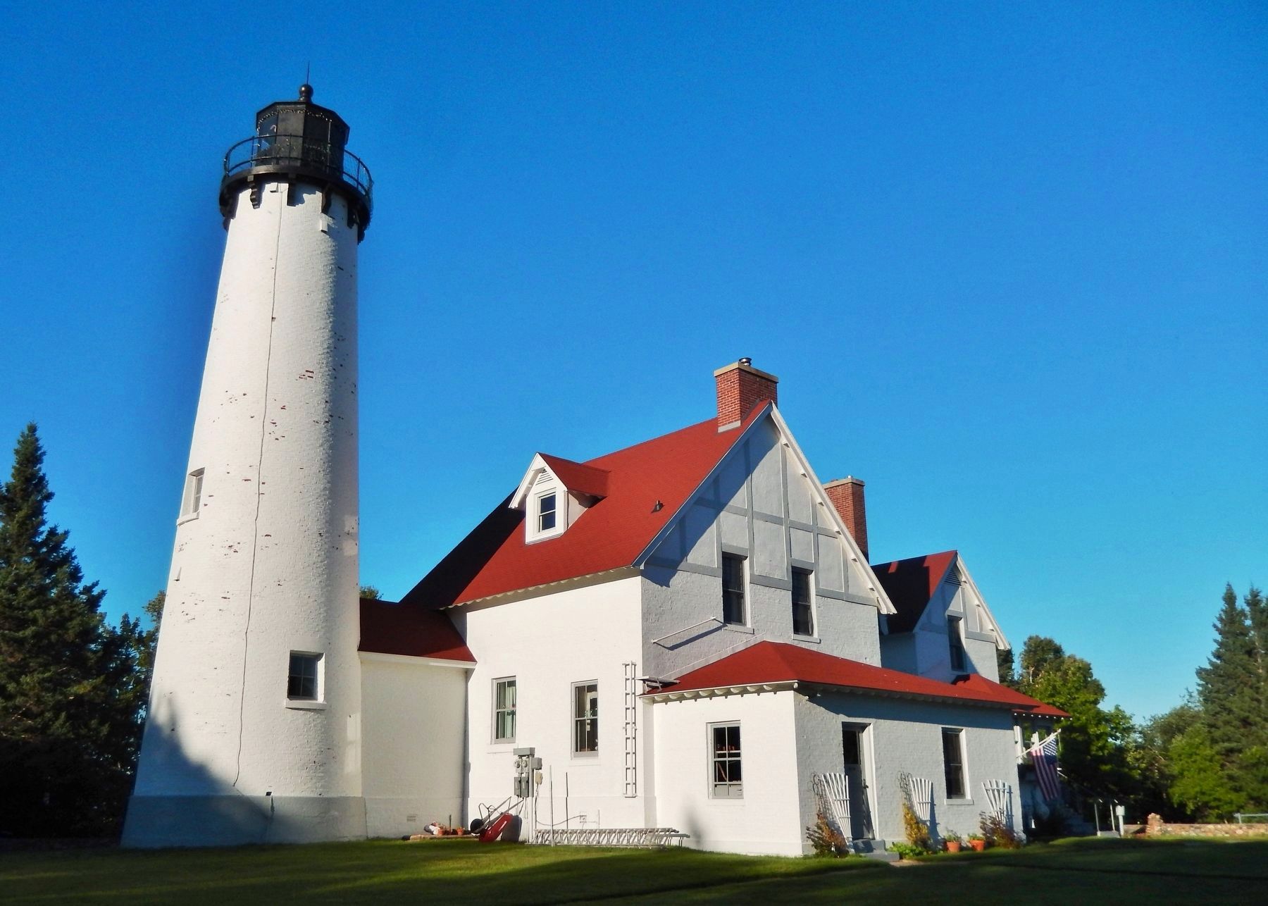
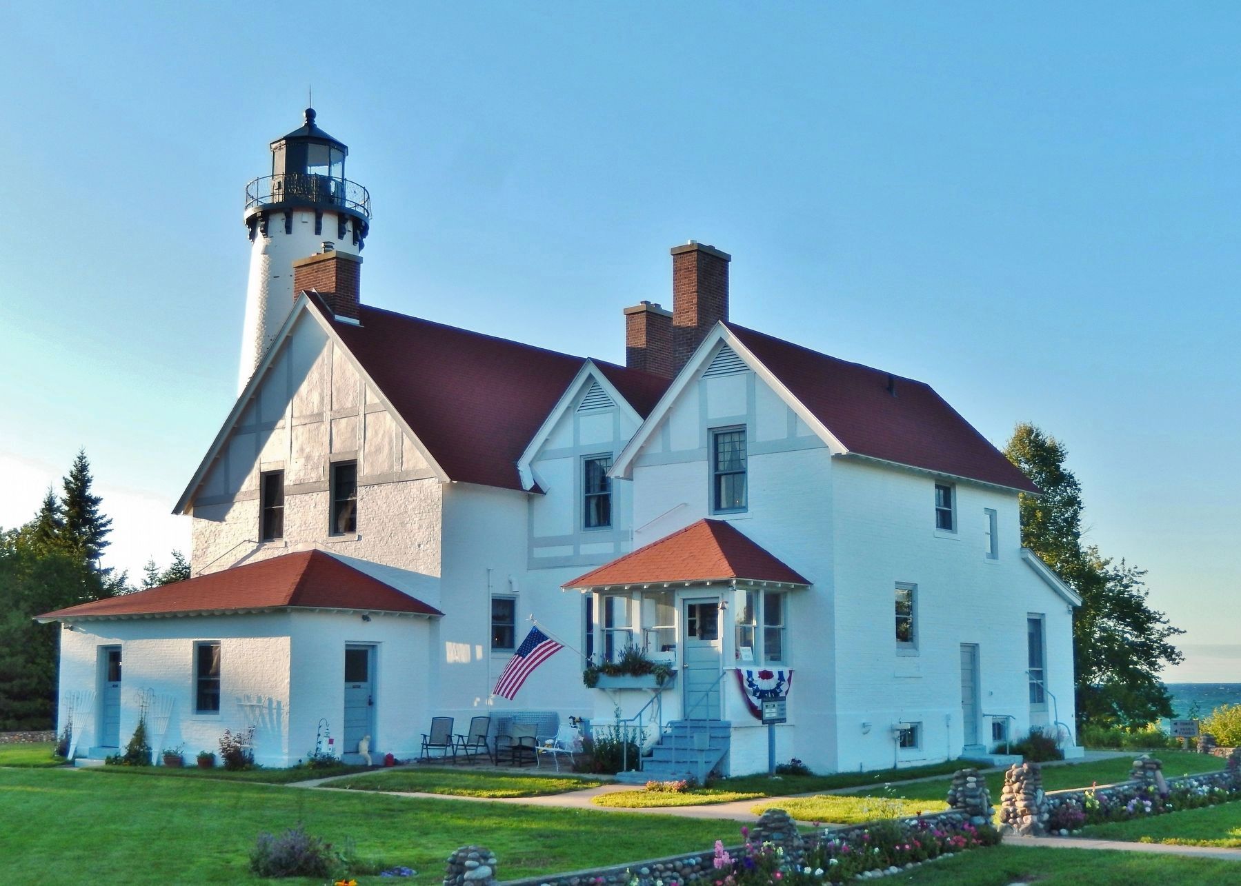
Point Iroquois Light Station
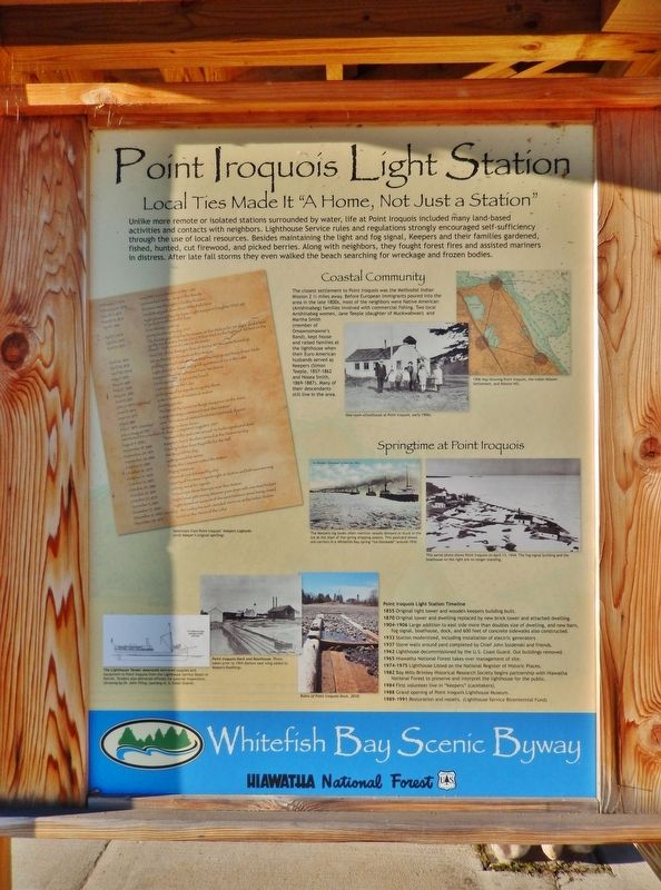
Local Ties Made it "A Home, Not Just a Station"
Coastal Community
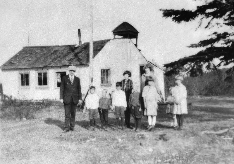
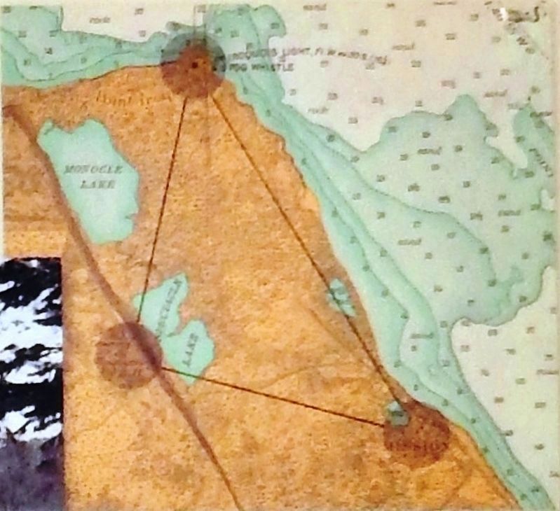
The closest settlement to Point Iroquois was the Methodist Indian Mission 2 ½ miles away. Before European immigrants poured into the area in the late 1800s, most of the neighbors were Native American (Anishinabeg) families involved with commercial fishing. Two local Anishinabeg women, Jane Teeple (daughter of Muckwabwan) and Martha Smith (member of Omawnomawne's Band), kept house and raised families at the lighthouse when their Euro-American husbands served as Keepers (Simon Teeple, 1857-1862 and Hosea Smith, 1869-1887). Many of their descendants still live in the area.
Point Iroquois Light Station Timeline
1855 Original light tower and wooden keepers building built.
1870 Original tower and dwelling replaced by new brick tower and attached dwelling.
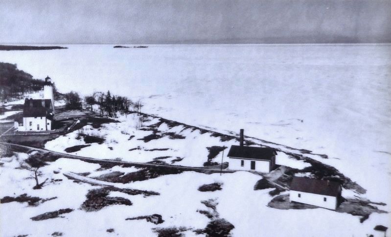
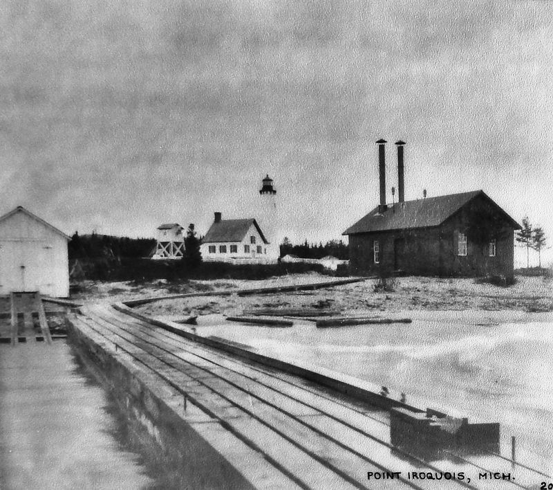
1904-1906 Large addition to east side more than doubles size of dwelling, and new barn, fog signal, boathouse, dock, and 600 feet of concrete sidewalks also constructed.
1933 Station modernized, including installation of electric generators
1937 Stone walls around yard completed by Chief John Soldenski and friends.
1962 Lighthouse decommissioned by the U.S. Coast Guard. Out buildings removed.
1965 Hiawatha National Forest takes over management of site.
1974-1975 Lighthouse Listed on the National Register of Historic Places.
1982 Bay Mills-Brimley Historical Research Society begins partnership with Hiawatha National Forest to preserve and interpret the lighthouse for the public.
1984 First volunteer live-in "keepers" (caretakers).
1988 Grand opening of Point Iroquois Lighthouse Museum.
1989-1991 Restoration and repairs. (Lighthouse Service Bicentennial Fund
Erected by Whitefish Bay Scenic Byway and Hiawatha National Forest.
Topics and series. This historical marker is listed in these topic lists: Native Americans • Settlements & Settlers • Waterways & Vessels. In addition, it is included in the Lighthouses series list. A significant historical year for this entry is 1855.
Location. 46° 29.041′ N, 84° 37.892′ W. Marker is near Brimley, Michigan, in Chippewa County. Marker can be reached from West Lakeshore Drive (Iroquois Road), 0.7 miles east of South Monocle Lake Road, on the left when traveling east. Marker is located in a boardwalk kiosk at the east end of the Point Iroquois Light Station parking lot. Touch for map. Marker is at or near this postal address: 12942 West Lakeshore Drive, Brimley MI 49715, United States of America. Touch for directions.
Other nearby markers. At least 4 other markers are within walking distance of this marker. Anishinabeg (here, next to this marker); Place of the Iroquois Bones (here, next to this marker); Glacial Gifts (here, next to this marker); Point Iroquois (a few steps from this marker).
Regarding Point Iroquois Light Station. National Register of Historic Places #75000940.
Related markers. Click here for a list of markers that are related to this marker. Point Iroquois Light Station, Michigan
Also see . . .
1. Point Iroquois Lighthouse. Work on the lighthouse, which consisted of a cylindrical, forty-five-foot, stone tower, fitted with wood stairs and an octagonal, iron lantern room, was carried out in 1855, and Charles Caldwell, who had previously served as an assistant at Whitefish Point, was appointed the first keeper of the light in 1856.
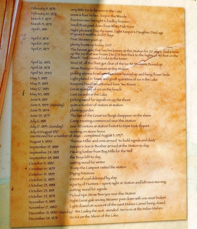
3. Marker detail: Selections from Point Iroquois’ Keepers Logbooks (with Keeper’s original spelling)
February 9, 1878 • very little ice to be seen in the Lake
February 10, 1878 • snow is four inches deep in the Woods
March 5, 1879 • fourteen men brought in badley frousen
March 13, 1878 • Small Boat past down from White Fish Point
April 1, 1881 • Night pleasant Day the same. Light Keeper’s Daughter Died age 19 years 8 months and 15 days.
April 9, 1878 • First Steamer past up
April 15, 1937 • plenty boats up today (40)
April 15, 1875 • The hevest gale that has bin known at this Station for 20 years. And it hove up the ice that was froam 2 to 2½ feet thick to the hights of 40 feet on the Beach. And caused Craks in the tower.
April 26, 1892 • Wind SE all the fleet got clear of the Ice 30 Steamers Bound up
April 28, 1878 • Straw Beerys in blossom at this Station
April 30, 1940 • picking stones from lawn that frost heaved up and fixing flower beds
May 3, 1883 • Light placed in Tower and great quantities of Ice in the Lake
May 13, 1883 • Keepers Daughter returned from Two Rivers
May 27, 1883 • Great quantity of ice on the beach
May 30, 1883 • Last ice seen in the Lake
June 8, 1891 • picking wood for signals on up the shore
June 11, 1894 (Sunday) • quite a number of visitors at station
June 13, 1894 • planting garden
June 29, 1875 • The last of the Great Ice Burgs disappear on the shore
July 6, 1881 • Camp Meeting commenced near this Station
July 17, 1893 (Sunday) • over 50 visitors at station from 8 to 10pm took it apart
July & August 1937 • working on stone fence (mentioned for a number of days — completed August 3rd 1937)
August 3, 1890 • Thomas Miller and crew arrived "to build signals and dock"
September 19, 1888 • Keeper's Son & brother arrived at the Station to day
September 24, 1891 • Hauling lumber from Bay Mills for the Well
September 28, 1888 • the Boys left to day
October 11, 1889 • cutting wood for winter
October 14, 1879 • Trump the Lampest visited the station
October 19, 1893 • Diging Potatoes
October 21, 1893 • 6 tons of coal delivered by ship
October 23, 1888 • a party of Hunters — spent night at Station and left next morning
October 23, 1891 • cutting wood for signals
October 25, 1878 • Picked ripe Straw Beeryes near this Station
November 11, 1883 • Night Great gale snowy Steamer past down with one mast broken
November 17, 1880 • Light closed on account of the saint Maries Cannel being closed
December 21, 1890 (Sunday) • Wm Lasley the asst. atended Services at the Indian Mishen
December 28, 1878 • No Ice on the Shore of the Lake.
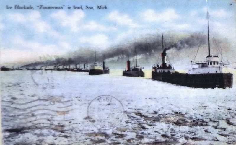
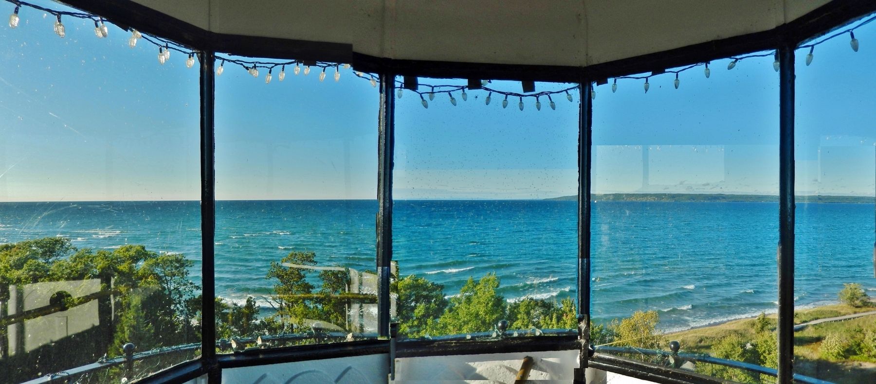
2. Point Iroquois Lighthouse. The purpose of the Point Iroquois Light Station was to guide freighters safely between the open waters of Whitefish Bay and the St. Mary’s River. The light station served passing sailors by marking the narrow channel between the shallow sand bars and shoals off Point Iroquois and the rocky reefs of Gros Cap on the Canadian side of the bay. (Submitted on August 9, 2020, by Cosmos Mariner of Cape Canaveral, Florida.)
3. Point Iroquois Light Station National Register Nomination. (Submitted on August 9, 2020, by William Fischer, Jr. of Scranton, Pennsylvania.)
Credits. This page was last revised on August 9, 2020. It was originally submitted on August 8, 2020, by Cosmos Mariner of Cape Canaveral, Florida. This page has been viewed 345 times since then and 19 times this year. Photos: 1. submitted on August 8, 2020, by Cosmos Mariner of Cape Canaveral, Florida. 2, 3, 4, 5, 6, 7, 8, 9, 10, 11, 12. submitted on August 9, 2020, by Cosmos Mariner of Cape Canaveral, Florida.
