2 entries match your criteria.
Related Historical Markers
Nansemond Indians
Courtesy of The Sun.
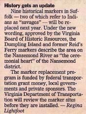
History gets an update
SHOWN IN SOURCE-SPECIFIED ORDER
| Near Godwin Boulevard (Virginia Route 10). Reported permanently removed. |
| | The village of the Nansemond Indians stood near here, 1608, when the region was first explored by the English settlers. These savages took part in the massacre of 1622, and in the war that followed their town was destroyed by Sir George Yeardley. — — Map (db m162964) HM |
| On Goodwin Boulevard (Route 10) 0.4 miles north of Harrell Drive, on the right when traveling north. |
| | The ceremonial heart of the Nansemond Indian district stood a mile east on Dumpling Island in the Nansemond River. In 1608, Capt. John Smith led colonists upriver to obtain corn from the Nansemonds, who attacked but were defeated and forced to feed . . . — — Map (db m2671) HM |
May. 27, 2024