11 entries match your criteria.
Related Historical Markers
By Craig Swain, November 27, 2009
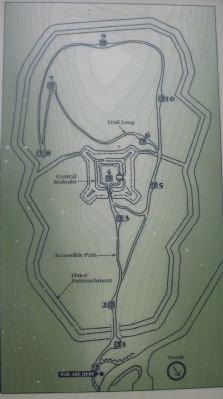
Fort Mill Ridge Trail Map
SHOWN IN SOURCE-SPECIFIED ORDER
| 1 ► West Virginia, Hampshire County, Mechanicsburg — Fort Mill Ridge — General Information — |
| 2 ► West Virginia, Hampshire County, Mechanicsburg — The Civil War in the South Branch Valley — |
| 3 ► West Virginia, Hampshire County, Mechanicsburg — Construction of Fort Mill Ridge — |
| 4 ► West Virginia, Hampshire County, Mechanicsburg — The Central Redoubt — |
| 5 ► West Virginia, Hampshire County, Mechanicsburg — Interior of the Central Redoubt — |
| 6 ► West Virginia, Hampshire County, Mechanicsburg — Control of the Mechanicsburg Gap — |
| 7 ► West Virginia, Hampshire County, Mechanicsburg — The Ditch as a Second Line of Defense — Reported missing |
| 8 ► West Virginia, Hampshire County, Mechanicsburg — An Outpost in Enemy Territory — |
| 9 ► West Virginia, Hampshire County, Mechanicsburg — Engagement with McNeill's Rangers — |
| 10 ► West Virginia, Hampshire County, Mechanicsburg — The Great Raid — |
| 11 ► West Virginia, Hampshire County, Mechanicsburg — Abandonment of Fort Mill Ridge — |