5 entries match your criteria.
Related Historical Markers

By Andrew Johnson, September 23, 2018
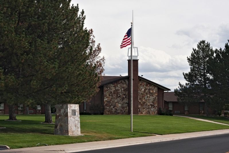
The Old Emigrant Road Marker
SHOWN IN SOURCE-SPECIFIED ORDER
| | The Old Emigrant Road started at Salt Lake City, Utah, and ended at the City of the Rocks, Idaho, where it formed a junction with the California Trail. This road was also known as Bluff Road, Old Traveled Road, and the Salt Lake Cutoff. It was . . . — — Map (db m124032) HM |
| | East side:
The only existing ruts on the Hensley/Salt Lake Cutoff between Salt Lake City and Tremonton are in the field north of this marker. The easterly route went into Brownsville [Ogden] while the westerly Bluff Road, and center . . . — — Map (db m169180) HM |
| | "...we came to Bear River Crossing, ... There has been a ferry established here all summer until the later week, when the waters have become so much fallen that it renders it useless The river is now about 150 ft. wide, an average depth of 2 1/2 . . . — — Map (db m105495) HM |
| | The Raft River Valley was used by Native Americans as a place to hunt and winter because the snow didn't lie in the valley and there was good water and plenty of grass for the animals. British and American trappers, Peter Skene Ogden, Milton . . . — — Map (db m123881) HM |
| | (There are five historical panels in this kiosk:)
Idaho's Emigrant Trails
Westward-bound emigrants entered Idaho after crossing Thomas Fork Valley. They soon encountered the climb and descent of Big Hill, witnessed . . . — — Map (db m124037) HM |
May. 2, 2024
