Near Charlottesville in Albemarle County, Virginia — The American South (Mid-Atlantic)
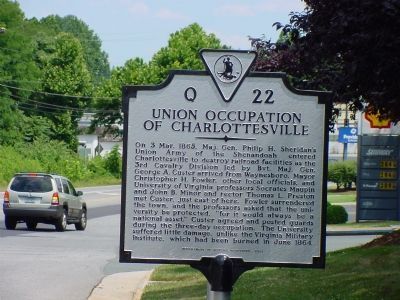
Union Occupation of Charlottesville
Erected 2001 by Department of Historic Resources. (Marker Number Q-22.)
Topics and series. This historical marker is listed in this topic list: War, US Civil. In addition, it is included in the Virginia Department of Historic Resources (DHR) series list. A significant historical month for this entry is June 1864.
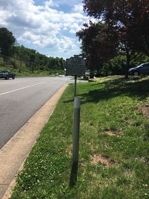
Location. This marker has been replaced by another marker nearby. It was located near 38° 2.697′ N, 78° 30.996′ W. Marker was near Charlottesville, Virginia, in Albemarle County. Marker was on Ivy Road (Business U.S. 250) near Colonnade Drive. Touch for map. Marker was at or near this postal address: 2214 Ivy Rd, Charlottesville VA 22903, United States of America. Touch for directions.
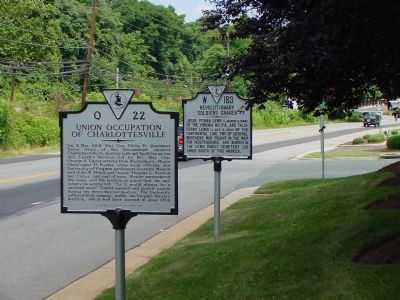
Other nearby markers. At least 8 other markers are within walking distance of this location. Revolutionary Soldiers Graves (here, next to this marker); a different marker also named Union Occupation of Charlottesville (a few steps from this marker); Technical Sergeant Frank D. Peregory (approx. 0.6 miles away); Dr. W. W. Yen (approx. 0.7 miles away); James Monroe’s First Farm (approx. 0.9 miles away); Henry Martin (approx. 0.9 miles away); Edgar Allan Poe (approx. 0.9 miles away); These Garden Walls (approx. 0.9 miles away). Touch for a list and map of all markers in Charlottesville.
More about this marker. The marker was a few hundred feet outside of the Charlottesville city limits.
Related marker. Click here for another marker that is related to this marker. This marker has been replaced with the linked marker.
Additional commentary.
1. Did the University of Virginia Surrender to Custer?
This marker does not address this controversy. University professors were in the delegation that met with Custer and the University was protected by Union guards during the brief occupation.
— Submitted December 5, 2007, by J. J. Prats of Powell, Ohio.
Additional keywords. University of Virginia
Credits. This page was last revised on February 2, 2023. It was originally submitted on December 5, 2007, by J. J. Prats of Powell, Ohio. This page has been viewed 2,157 times since then and 63 times this year. Last updated on June 11, 2016, by Brandon D Cross of Flagler Beach, Florida. Photos: 1, 2. submitted on December 5, 2007, by J. J. Prats of Powell, Ohio. 3, 4. submitted on June 11, 2016, by Brandon D Cross of Flagler Beach, Florida. • Bill Pfingsten was the editor who published this page.


