5 entries match your criteria.
Related Historical Markers
By Keith S Smith, December 15, 2011
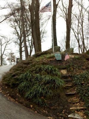
Osborne's Hill at top of the stone steps
SHOWN IN SOURCE-SPECIFIED ORDER
| On Birmingham Road at Country Club Drive, on the left when traveling south on Birmingham Road. |
| | From this ridge General Howe directed the movements of the British Army during the Battle of Brandywine, September 11, 1777. — — Map (db m51472) HM |
| On West Street Road (State Highway 926) at South Birmingham Road, on the right when traveling west on West Street Road. |
| | The British attack on the American right wing began here late in the afternoon. After heavy fighting, the defense line which Sullivan formed hastily near Birmingham Meeting House was forced to retreat to Dilworthtown, 2 miles SE. Reinforcements from . . . — — Map (db m39590) HM |
| On Birmingham Road, on the right when traveling north. |
| | To mark the site of the first line of defense of the American Army at the Battle of the Brandywine 11 September 1777 — — Map (db m41300) HM |
| On Birmingham Road at Squires Drive, on the right when traveling south on Birmingham Road. |
| | Cornwallis’ division of the British Army halted here September 11, 1777, on its march to the Battlefield of Brandywine. — — Map (db m191125) HM |
| On Creek Road, on the right when traveling north. |
| | Proctor's American Artillery occupied several redoubts near this house at the Battle of Brandywine, September 11, 1777 — — Map (db m182628) HM WM |
May. 19, 2024