2 entries match your criteria.
Related Historical Markers
By Mike Stroud, 2008
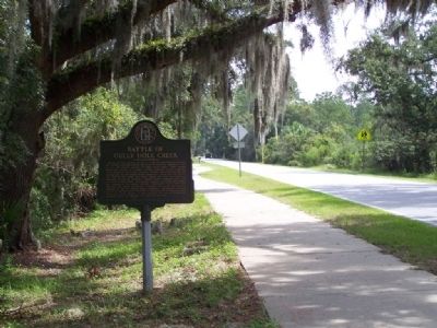
Battle of Gully Hole Creek Marker looking east on Frederica Road
SHOWN IN SOURCE-SPECIFIED ORDER
| 1 ► Georgia, Glynn County, St. Simons Island — 063-42 — Battle of Gully Hole Creek — |
| On Frederica Road, 0.1 miles east of Stevens Road, on the right when traveling west. | |||
| 2 ► Georgia, Glynn County, St. Simons Island — Battle of Bloody Marsh — |
| On Demere Rd. | |||