3 entries match your criteria.
Related Historical Markers
February 6, 2022
Fort Sod Marker, from the west
SHOWN IN SOURCE-SPECIFIED ORDER
| On East 10th Street (State Highway 42) west of South Second Avenue, on the left when traveling west. |
| | In the summer of 1858, a fort was built nearby to defend the early Sioux Falls settlers against the Yankton Sioux Indians. A stand-off ensued.
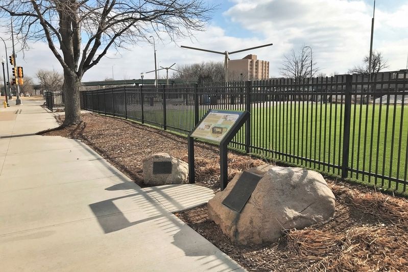
The Claim
In the fall of 1856, speculators from the Western Town Company claimed a town . . . — — Map (db m192046) HM |
| On Mall Avenue at East 9th Street, on the right when traveling west on Mall Avenue. |
| | In the fall of 1856, speculators from the Western Town Company of Dubuque, Iowa, claimed a town site at the Falls of the Big Sioux River. The next spring, men joined them from the Dakota Land Company of St. Paul. Together, they founded Sioux Falls . . . — — Map (db m184704) HM |
| On River Road, 0.1 miles north of East 10th Street (State Highway 42), on the right when traveling north. |
| | To the east of the Rock Island railroad depot is a memorial to the settlers of "Sioux Falls City" who occupied this area between 1857 and 1862. Due to a scare that Indians were about to attack in June of 1858, a sod fortification was constructed . . . — — Map (db m184847) HM |
May. 18, 2024